What is recorded here
In pasture, 125m N of townland boundary with Ballinstona. Depicted on the 1840 ed. OSi 6-inch map as circular-shaped area defined by a scarp. Shown on the 1897 ed. OSi 25-inch map as a raised triangular-shaped area (dims. c. 19m N-S; 26m E-W at N; 14m E-W at S) defined by a scarp. Poorly preserved monument visible as D-shaped area defined by a fosse with rectangular shaped area to N, on aerial photograph (ASIAP (346) 13, 14) taken 05/01/2003. Monument visible as circular-shaped area (diam. c. 31m) enclosed by overgrown fosse on OSi orthophotograph taken between 2005-2012. The interior appears raised on Google Earth orthoimage dated 24/09/2018.
See attached Archaeological Survey of Ireland aerial photograph (ASIAP (346) 13, 14) taken 05/01/2003 and Google Earth orthoimages.
Compiled by: Fiona Rooney
Date of upload: 16 April 2021
The monument record does not grant public access. Check the route and ask the landowner before entering private land.
- What survives
- Recorded monument
Places near here
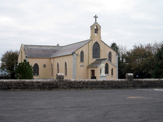 Catholic Church of the Holy Trinitychurch/chapel · 519 yd
 BarrowBarrow, ditch barrow · 855 yd
 post boxpost box · 1402 yd
 Site of Uregare ChurchChurch · 1590 yd
 Bawn in MaidstownBawn · 1.6 mi
 Ballygrennan Castle (in ruins)Castle, tower house · 2.1 mi
 King John's CastleCastle · 3.0 mi
 St Bridget's WellSpring · 4.7 mi
 KnockainyMountain / peak · 4.8 mi
 Lough GurVisitor information · 5.0 mi
 Flat cemetery in Knockainy WestFlat cemetery · 5.4 mi
 Ballinvreena LoopVisitor information · 6.9 mi