What is recorded here
Situated on a gentle SW-facing slope with a SE-NW stream c. 200m to the SW. Marked as an embanked enclosure (ext. diam. c. 35m) only on the 1839 ed. of the OS 6-inch map. No feature is visible at ground level in a cereal crop. Rath (WX011-003----) is c. 50m to the WSW, and the possible rath (WX011-045----) is c. 160m to the ESE. It is visible as a cropmark on Google Earth (14/07/2018).
See the attached enhanced view from Google Earth (2018)
The above description is derived from the published 'Archaeological Inventory of County Wexford' (Dublin: Stationery Office, 1996). In certain instances the entries have been revised and updated in the light of recent research.
Compiled by: Michael Moore
Date of revision: 1 April, 2012
Amended: 23 July 2021
The monument record does not grant public access. Check the route and ask the landowner before entering private land.
- What survives
- Recorded monument
Places near here
 Church in Killowen (gorey By.)Church · 549 yd
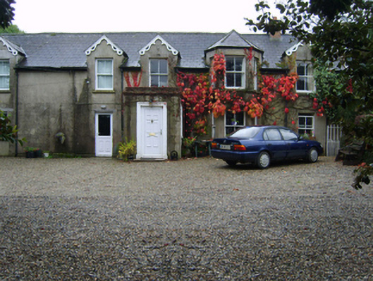 Glandoran Housefarm house · 1378 yd
 Fulacht fia in Moneycross UpperFulacht fia · 1.6 mi
 Field system in Moneycross UpperField system · 1.7 mi
 Gorey HillMountain / peak · 2.1 mi
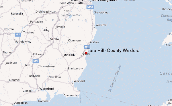 Ballyminaun HillMountain / peak · 2.5 mi
 1798 MonumentMemorial · 2.7 mi
 Barnadown WoodWood · 3.0 mi
 Market HouseHeritage attraction · 3.0 mi
 Ballingarry WoodForest · 3.2 mi
 Saint Brigid's WellSpring · 4.0 mi
 Blue SchoolMemorial · 4.7 mi