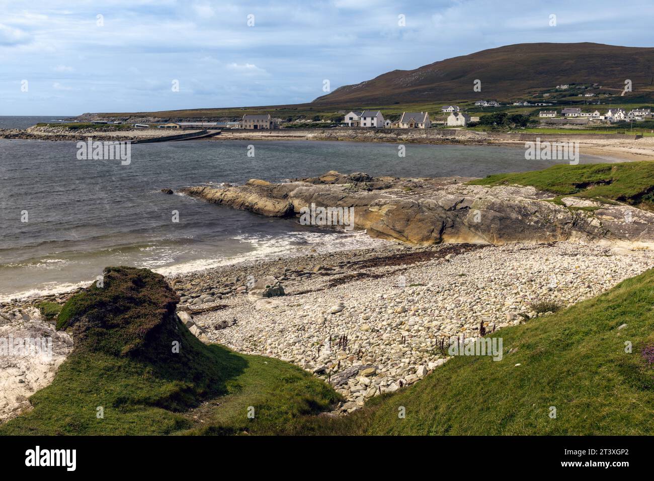
What is recorded here
Marked as a circular embanked enclosure (ext. diam. c. 100m) on the 1839 ed. of the OS 6-inch map and as an oval feature (dims c. 150m N-S; c. 100m E-W) on the 1940 ed. It is situated on gentle S and W-facing slope. This is an oval grass-covered area (dims. 100m NE-SW; 60m NW- SE) defined by scarps (at SE: H 0.5m, Wth 5m; at SW: Wth 9m, H 1m), with the perimeter incorporated into a field bank SW-W and truncated by a NNW-SSE field bank N-E. There is no visible fosse or entrance, but Major’s Well, a natural spring is inside the perimeter at SW. Ring-work (WX039-028001-) is c. 100m to the NW.
The above description is derived from the published 'Archaeological Inventory of County Wexford' (Dublin: Stationery Office, 1996). In certain instances the entries have been revised and updated in the light of recent research.
Compiled by: Michael Moore
Date of upload/revision: 28 January, 2013
The monument record does not grant public access. Check the route and ask the landowner before entering private land.
- What survives
- Recorded monument
Places near here
 (Sites of) CastlesCastle, unclassified · 236 yd
 CastleRuins · 282 yd
 Barrow Bridgebridge · 590 yd
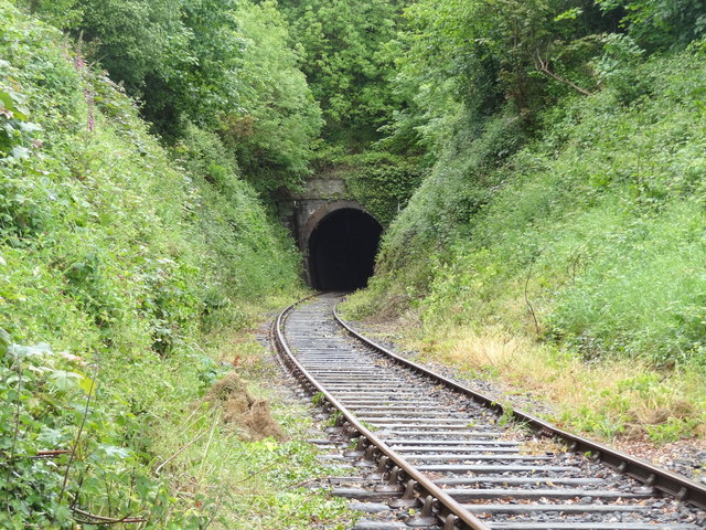 tunneltunnel · 1116 yd
 (Site of) Kilmilea ChurchChurch · 1460 yd
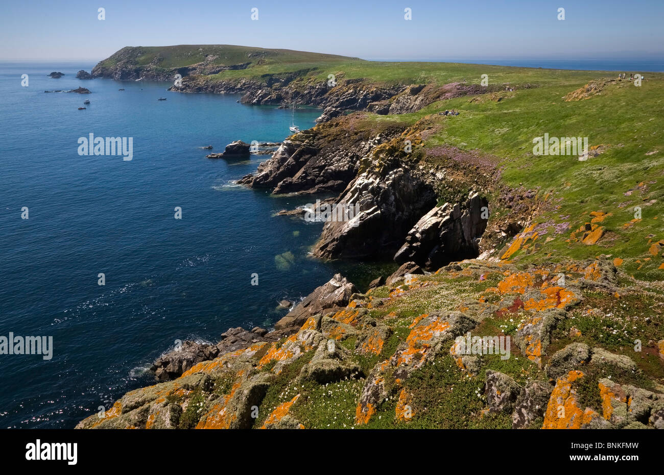 Enclosure in Great IslandEnclosure · 1525 yd
 Cheek PointHeadland · 1.0 mi
 Goat IslandIsland · 1.2 mi
 The MinaunViewpoint · 1.4 mi
 Minaun HillMountain / peak · 1.4 mi
 Dunbrody Abbey Hedge MazeHeritage attraction · 1.7 mi
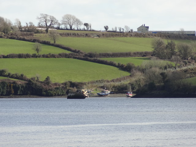 Nook BayBay · 1.7 mi
Other information
Photo: Credit not shown in the picture search · Rights wording not checked; contact us if this picture should be removed