What is recorded here
Martin's Fort is a rectangular earth-covered stone structure on a high ridge in County Louth, measuring 31m by 12.5m. Bones and skeletons were found close to the site and in larger quantities in the field to the east. The NNE end holds a raised platform, and the shape suggests a possible church site rather than a defensive stronghold.
The following description is derived from both the published 'Archaeological Inventory of County Louth' (Dublin: Stationery Office, 1986) and the 'Archaeological Survey of County Louth' (Dublin: Stationery Office, 1991). In certain instances the entries have been revised and updated in the light of recent research.
Date of upload/revision: 25 May 2012
Rectangular earth-covered stone structure (max. dims. 31m by 12.5m) placed on top of high ridge, orientated NNE-SSW. Marked on 1835 ed. of OS 6-inch map as 'Martin's Fort'. At NNE end is raised 'platform'. Bones and skeletons found close to the site and in larger quantities in field to E (LH013-011----). (CLAJ 1910, 295). Possibly a church site.
The monument record does not grant public access. Check the route and ask the landowner before entering private land.
- What survives
- Recorded monument
Places near here
 Martins FortArchaeological place · 37 yd
 CastleCastle, unclassified · 319 yd
 Holy well in EdmondstownHoly well · 360 yd
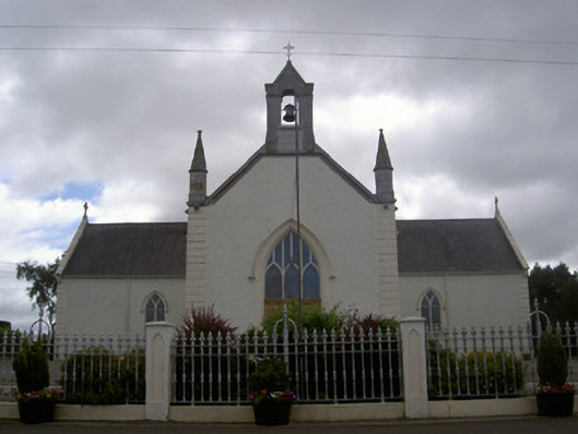 Saint Malachy's Catholic Churchchurch/chapel · 1200 yd
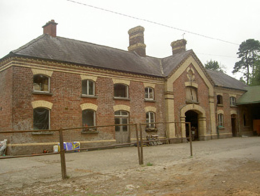 Cardistown Housefarmyard complex · 1576 yd
 The MountCastle, motte and bailey · 1.6 mi
 Flat cemetery in AnnaheanFlat cemetery · 1.8 mi
 Matthew's HillMountain / peak · 2.2 mi
 TuliptreeTuliptree · 2.4 mi
 European YewEuropean Yew · 2.5 mi
 Yellow HillMountain / peak · 3.4 mi
 Sir Frederick Foster MemorialMemorial · 4.6 mi