
What is recorded here
Marcagh's Stable appears on the Ordnance Survey map as an oval grove in County Donegal, yet no person has walked its path or touched its bark. The gothic script preserves a name while the land keeps its secret, waiting for boots to test whether stone or soil built the circle. It is a challenge thrown across centuries, inviting curiosity to do what hesitation refused.
Depicted on the current edition of the Ordnance Survey 6-inch map in gothic script as 'Marcagh's Stable' where it is outlined as a oval-shaped grove of trees. This potential monument has not been visited, it could be the remains of a natural feature rather than an archaeological monument.
Compiled by: Caimin O'Brien
Date of upload/revision: : 17 November 2011
The monument record does not grant public access. Check the route and ask the landowner before entering private land.
- What survives
- Recorded monument
Places near here
 Former Bellanascaddan Fairy FortFairy fort / ringfort · 1161 yd
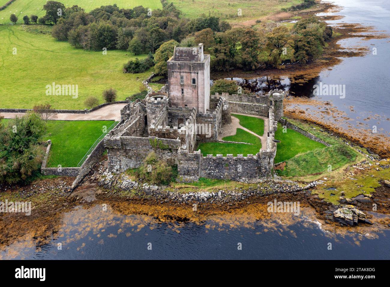 Bellanascaddan Former FortFairy fort / ringfort · 1423 yd
 Church in KillydesertChurch · 1429 yd
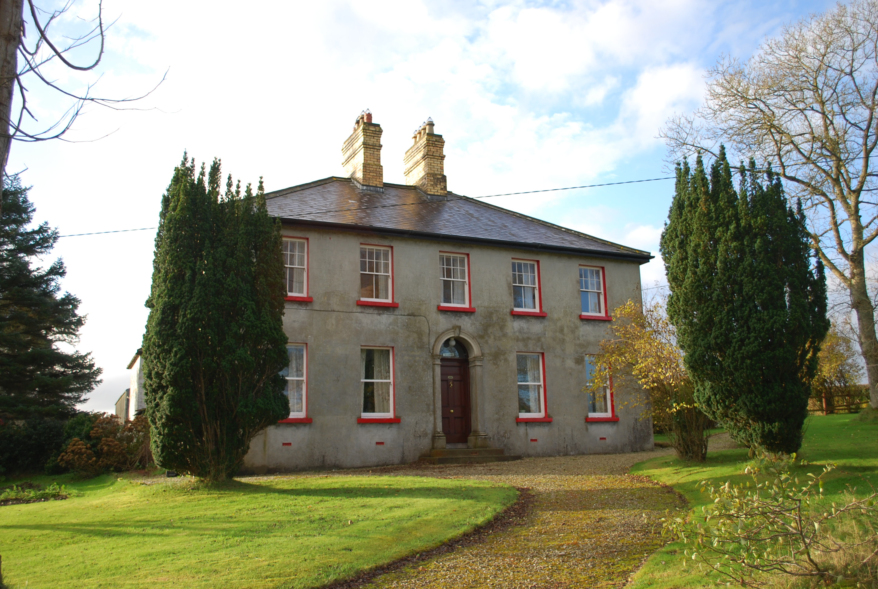 Ivy Cottagehouse · 1.2 mi
 BallykeeranForest recreation place · 2.4 mi
 Bawn in LetterkennyBawn · 2.9 mi
 Gregory HillMountain / peak · 3.0 mi
 Castle (Site of)Castle, unclassified · 3.2 mi
 Silver BirchSilver Birch · 3.4 mi
 Stackarnagh Abbey GraveyardGraveyard · 4.0 mi
 Battle of Scarrifholisbattle · 4.1 mi
 Newmills Corn and Flax MillsHeritage attraction · 4.5 mi
Other information
Photo: Credit not shown in the picture search · Rights wording not checked; contact us if this picture should be removed