What is recorded here
Knockevagh holds a forgotten ringfort, large enough for forty-five metres of deliberate human shaping. The land has swallowed the bank and ditch, leaving no visible trace despite the clear circular memory preserved on the 1839 map. What disappeared is not nothing; it is the difference between a empty field and a place that once excluded rain, strangers and forgetfulness.
The following description is derived from the published 'Archaeological Inventory of County Carlow' (Dublin: Stationery Office, 1993). In certain instances the entries have been revised and updated in the light of recent research.
Date of upload/revision: 17 July 2007
Shown on 1839 'OS 6-inch' map as circular area surrounded by bank (max. diam. c. 45m). No visible surface traces. Location suggests a ringfort.
The monument record does not grant public access. Check the route and ask the landowner before entering private land.
- What survives
- Recorded monument
Places near here
 Enclosure in Knocklishen MoreEnclosure · 1245 yd
 Rathvilly MoatArchaeological place · 1.1 mi
 CastleCastle, unclassified · 1.6 mi
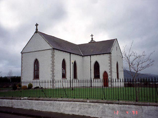 Catholic Church of the Assumptionchurch/chapel · 1.7 mi
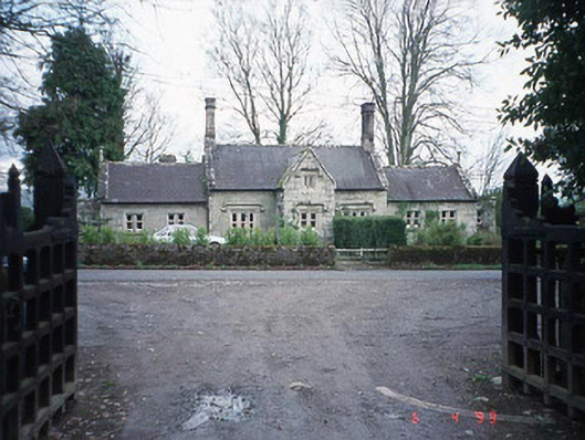 Lisnavagh Schoolschool · 1.7 mi
 Site of CastleCastle, unclassified · 2.0 mi
 European BeechEuropean Beech · 2.0 mi
 Acaun Church (in ruins), GraveyardChurch · 2.1 mi
 Chapel (in ruins), GraveyardChurch · 2.4 mi
 Sessile OakSessile Oak · 3.9 mi
 Eagle HillMountain / peak · 4.2 mi
 SlievereaghMountain / peak · 6.5 mi