What is recorded here
Mound in Dysart (moyashel & Magheradernon By.) is a mound in Dysart (moyashel & Magheradernon By.), County Westmeath, Ireland. In 1982, an ASI fieldworker described it as an earthen mound that was rectangular in shape and flat-topped, measuring 24 metres north-south by 8 to 10 metres east-west and rising to a height of 3.5 metres. The flat top had a surface area of 12 metres by 4.5 metres, and its sharply rectilinear shape was considered inconsistent with prehistoric earthen burial mounds.
Surveyed in 2013 and described by McGuinness (2014, 66) as following: 'This monument was described by an ASI fieldworker in 1982 as ‘an earthen mound, rectangular in shape, flat-topped, measuring 24m N-S, by 8m-10m E-W, and rising to a height of 3.5m, the surface area of the flat top is 12m by 4.5m’ [SMR file]. It was suggested from its location that it might have been a landscape feature, although it appeared more ancient than this. Its sharply rectilinear shape, as indicated in a rough sketch by same ASI fieldworker, is certainly inconsistent with prehistoric earthen burial mounds, and it is rejected as one here'.
Compiled by: Caimin O'Brien based on details provided by David McGuinness.
Date of upload: 23 February 2015
The monument record does not grant public access. Check the route and ask the landowner before entering private land.
- What survives
- Recorded monument
Places near here
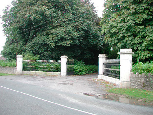 Barrettstown Housegates/railings/walls · 321 yd
 Man-made underground passage in Dysart (moyashel & Magheradernon By.)Man-made underground passage · 656 yd
 Dysart Ho. (in ruins)Castle, unclassified · 696 yd
 Field system in Dysart (moyashel & Magheradernon By.)Field system · 707 yd
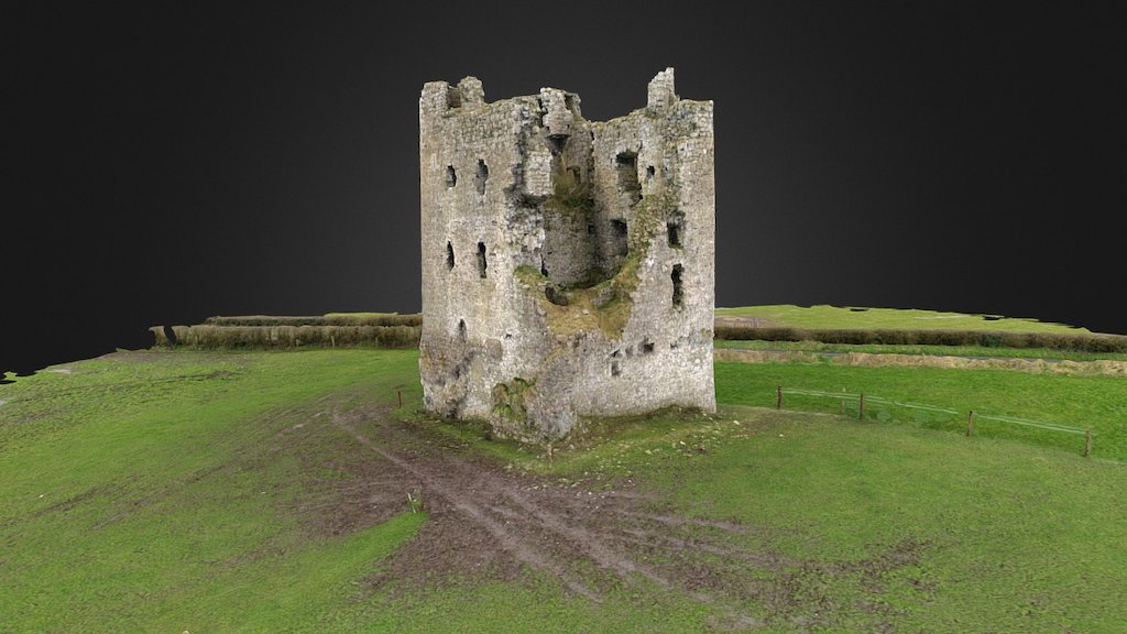 CastleCastle, ringwork · 803 yd
 Church (in Ruins)Church · 819 yd
 Ash IslandIslet · 1.5 mi
 Dysart IslandIsland · 1.7 mi
 Ancient Ring FortWood · 1.9 mi
 Hill of UisneachMountain / peak · 4.8 mi
 Ardan WoodWood · 8.7 mi
 Bonfire HillMountain / peak · 9.0 mi