
What is recorded here
Possible site of Man-made underground passage recorded by the ASI in 1982 when the local landowner informed them that during the land reclamation work of the 1960s a sink hole appeared in a field 300m W of the ruins of Dysart House. The site identified by the landowner was visible in 1982 as a patch of differential vegetation growth marking an area 3m wide by 15m long which may suggest that this was the location of a possible Man-made underground passage associated with the nearby monastic site (WM025-110003-) of Dysart.
Compiled by: Caimin O'Brien
Date of upload: 8 November 2017
The monument record does not grant public access. Check the route and ask the landowner before entering private land.
- What survives
- Recorded monument
Places near here
 Church (in Ruins)Church · 189 yd
 Dysart Ho. (in ruins)Castle, unclassified · 241 yd
 Partially indicatedEcclesiastical enclosure · 258 yd
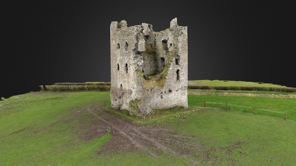 CastleCastle, ringwork · 310 yd
 Multillys WellsHoly well · 374 yd
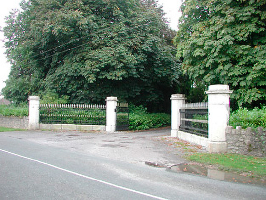 Barrettstown Housegates/railings/walls · 966 yd
 Ash IslandIslet · 1.2 mi
 Dysart IslandIsland · 1.4 mi
 Ancient Ring FortWood · 2.2 mi
 Hill of UisneachMountain / peak · 5.0 mi
 Ardan WoodWood · 8.3 mi
 Bonfire HillMountain / peak · 8.7 mi
Other information
Photo: Credit not shown in the picture search · Rights wording not checked; contact us if this picture should be removed