What is recorded here
One of six, small subrectangular cropmarks (KD024-050001- to KD024-050006-) visible on an aerial photograph (GSI N 337-6). Located in level, well-drained pasture. No earthworks were visible at the time of visit, but there was heavy grass cover.
Compiled by: Gearóid Conroy
Date of upload: 10 July 2012
The monument record does not grant public access. Check the route and ask the landowner before entering private land.
- What survives
- Recorded monument
Places near here
 Enclosure in Walterstown (carnalway Ed)Enclosure · 313 yd
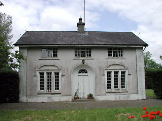 Dunnstown Farmhouse · 414 yd
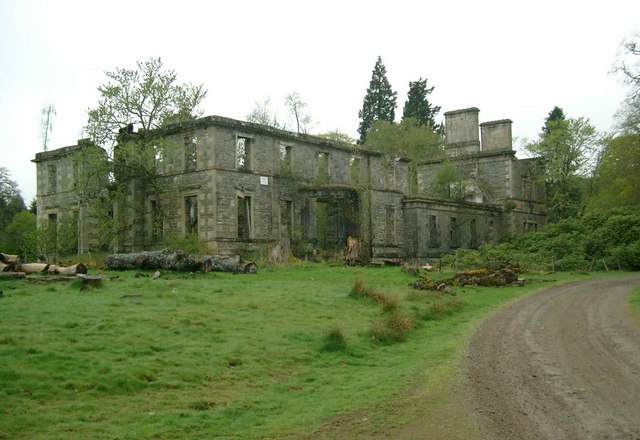 Enclosure in Stephenstown SouthEnclosure · 543 yd
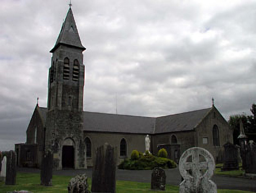 Saint Peter's Catholic Churchchurch/chapel · 1597 yd
 European ashEuropean ash · 1.1 mi
 Harristown CastleCastle, tower house · 1.2 mi
 Site of CastleCastle, unclassified · 1.5 mi
 Sillagh Bog WoodForest · 2.2 mi
 1798 memorial stoneMonument · 2.7 mi
 Newbridge SilverwareMuseum · 4.4 mi
 Poplar SquarePicnic place · 4.5 mi
 Councillor Jim MileyMemorial · 6.6 mi