What is recorded here
Mortons and others have occupied the oval since before written memory. Twenty-one metres of good land still hold the shape, though grass and forgotten feet have softened the bank. The fort does not need a date to be real. It needs only to be walked, remembered and left alive.
Internal diam. 21m. An oval area enclosed by the remains of an earthen bank surviving up to .4m on the E side. The bank has been partially faced with stone to incorporate it into a stone wall field boundary on the E and N sides. The interior slopes from NE to SW reflecting the hill on which it was built. It is now very overgrown but situated in good land.
The above description was derived from the 'Archaeological Survey of County Donegal. A description of the field antiquities of the County from the Mesolithic Period to the 17th century.' Compiled by: Brian Lacey with Eamon Cody, Claire Cotter, Judy Cuppage, Noel Dunne, Vincent Hurley, Celie O'Rahilly, Paul Walsh and Seán Ó Nualláin (Lifford: Donegal County Council, 1983). In certain instances the entries have been revised and updated.
Date of upload: 22 September 2008
The monument record does not grant public access. Check the route and ask the landowner before entering private land.
- What survives
- Recorded monument
Places near here
 Prospect Hillhouse · 270 yd
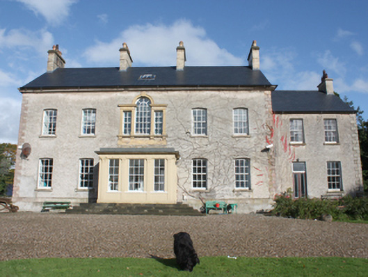 Dunmore Housecountry house · 325 yd
 CastleCastle, unclassified · 924 yd
 Fairy fort / ringfort in AltaghaderryFairy fort / ringfort · 1.5 mi
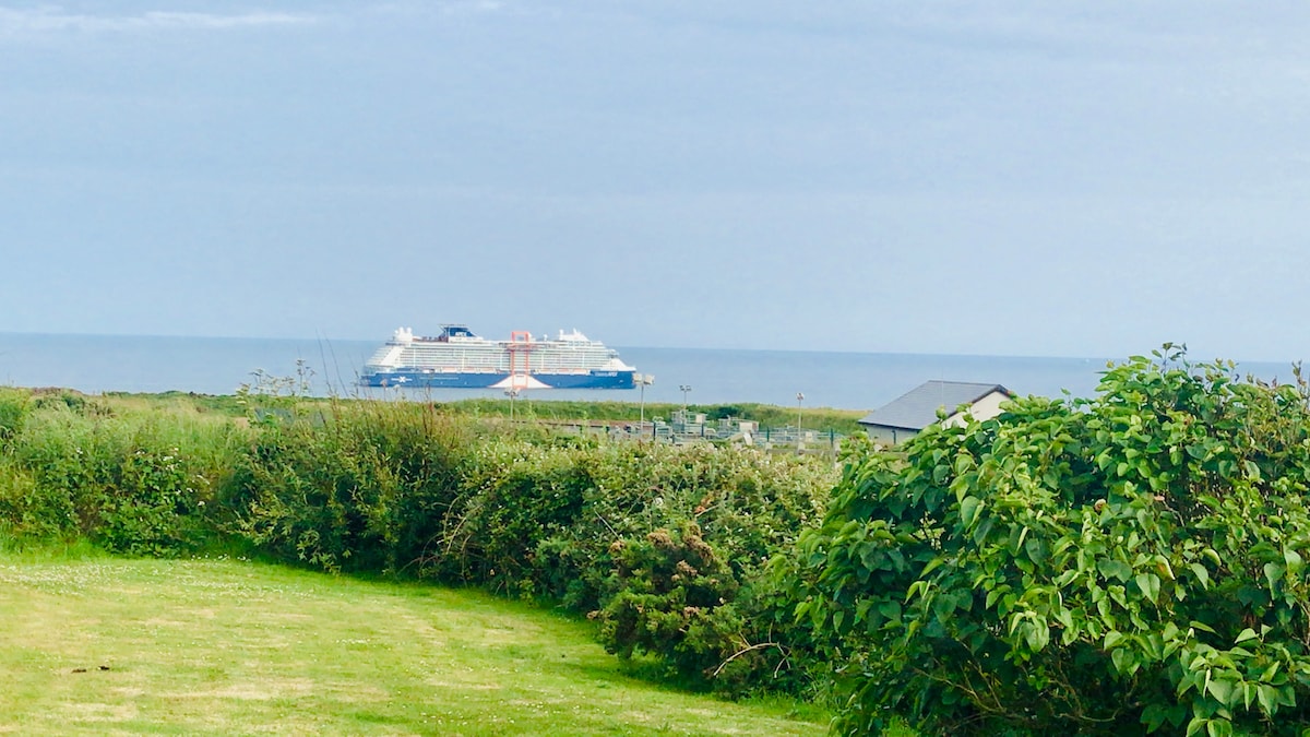 ENCLOSURE in KilleaENCLOSURE · 1.5 mi
 Gortmonly HillMountain / peak · 2.9 mi
 Emmery Celtic CrossWood · 3.4 mi
 Prehen WoodsForest · 3.6 mi
 Mongavlin CastleHouse, fortified house · 3.8 mi
 Curryfree HillMountain / peak · 4.3 mi
 Double BastionViewpoint · 4.5 mi
 Foyle Valley Railway MuseumMuseum · 4.6 mi