What is recorded here
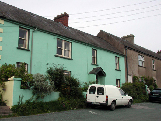
Terraced four-bay two-storey house, c.1880, retaining most early fenestration with single-bay two-storey return to north-east. Renovated, c.1930, with single-bay single-storey gabled projecting open porch added. Part refenestrated, c.1980. One of a pair. Pitched (shared) slate roof with clay ridge tiles, red brick Running bond and rendered (shared) chimney stacks, and iron rainwater goods on timber eaves. Painted rendered walls over random rubble stone construction with rendered quoins. Square-headed window openings (one in bipartite arrangement) with stone sills, and 1/1 timber sash windows. Replacement timber casement window, c.1980, to ground floor. Square-headed door opening under gabled projecting open porch, c.1930, and replacement glazed timber panelled door, c.1980. Set back from line of road on elevated site in own grounds with door opening approached by flight of steps, and flagged forecourt having rendered boundary wall.
A well-composed, modest-scale house, built at one of a pair (with 22817004/WD-27-17-04), forming part of a terrace following the incline of a hill. Well maintained, most of the original form and massing remains intact, together with a range of important salient features and materials, which enhance the historic quality of the composition. The house, together with the remaining houses in the terrace, is prominently positioned on an elevated site overlooking Dunmore Strand, and forms an imposing feature of the townscape.
This does not grant access. Most recorded buildings are privately owned; view them only from public ground unless the owner allows entry.
Places near here
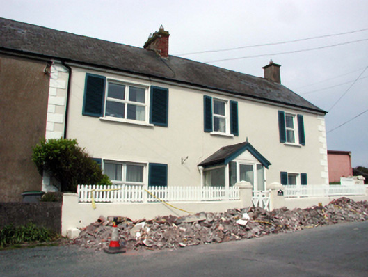 Seascapehouse · 32 yd
 Pink Cottagehouse · 60 yd
 Councillors StrandBeach / strand · 189 yd
 Castle in ruinsCastle, Anglo-Norman masonry castle · 275 yd
 Ladies CoveBeach / strand · 317 yd
 Promontory fortPromontory fort, coastal · 384 yd
 The WoodsWalking route · 746 yd
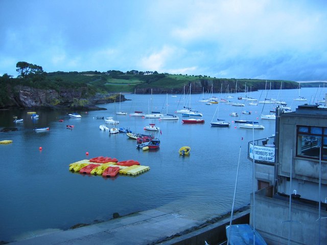 Harbour and Park walk.Walking route · 762 yd
 Lost at Sea Memorial WallMemorial · 1073 yd
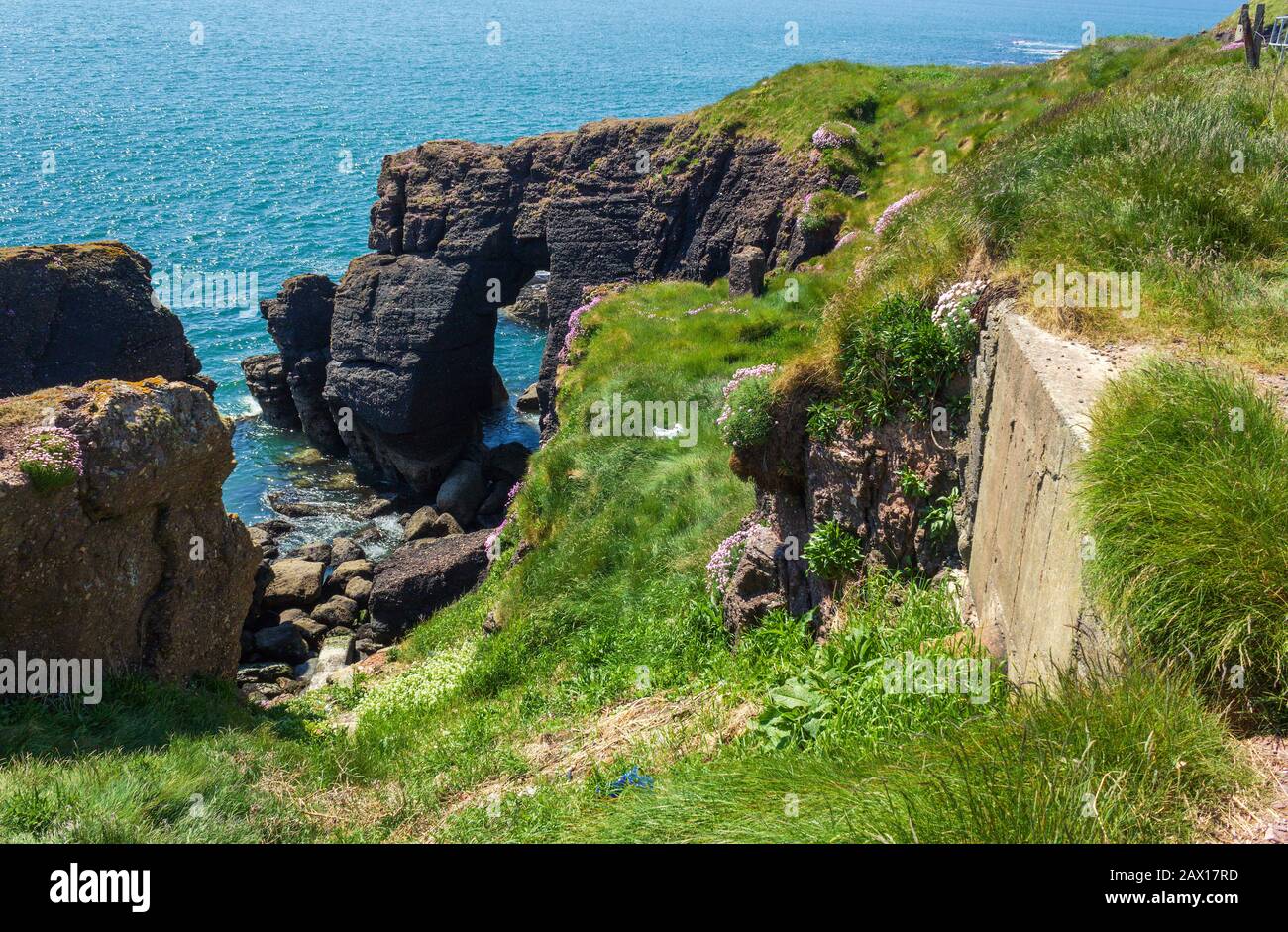 Enclosure in DunmoreEnclosure · 1196 yd
 South East Coastal DriveVisitor information · 2.2 mi
 Knockavelish HeadHeadland · 2.2 mi
Other information
Photo: National Inventory of Architectural Heritage · Website use allowed for educational or private purposes with source credit