What is recorded here
Ecclesiastical enclosure in Dunmanoge: overlapping fosses and curving or straight lines surround the church, graveyard, and a possible deserted medieval settlement. Numerous pits mark individual burials scattered through the area rather than confined to one neat ground. The place may have grown in layers, with people adding boundaries and graves as needs changed.
Aerial photographs (GB89.O.10 & 13) show an extensive cropmark landscape surrounding the church (KD039-006----) and graveyard (KD039-006001-) and also occupying part of an area of possible deserted medieval settlement (KD039-005----). Overlapping fosses reveal a complex series of outer enclosures, both curvilinear and rectilinear. Numerous pits indicate individual interments throughout the area.
Compiled by: Dr. Gillian Barrett
Date of upload: 12 December 2011
The monument record does not grant public access. Check the route and ask the landowner before entering private land.
- What survives
- Recorded monument
Places near here
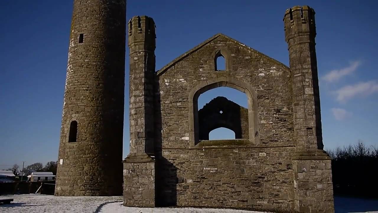 Church (in Ruins)Church · 8 yd
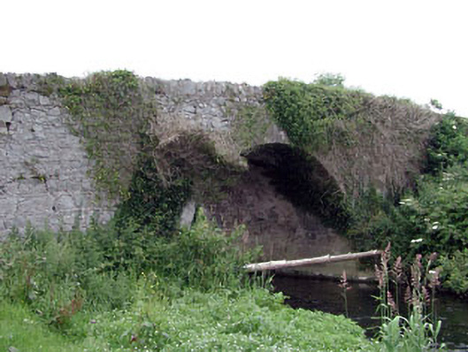 Newtown Bridgebridge · 389 yd
 Enclosure in BlackcastleEnclosure · 456 yd
 Enclosure in NewtownpilsworthEnclosure · 1099 yd
 Castle in ruinsCastle, unclassified · 1.0 mi
 Castle (in ruins)Castle, tower house · 1.5 mi
 Oak Park Forest ParkWood · 2.2 mi
 Pedunculate OakPedunculate Oak · 2.3 mi
 Lorcán Ó TuathailMemorial · 3.1 mi
 ProclamationMemorial · 3.2 mi
 Franciscan FriaryHeritage attraction · 3.5 mi
 Castledermot Round TowerHeritage attraction · 3.6 mi