What is recorded here
Aerial photographs (GB89.O.10 & 13) show an extensive cropmark landscape surrounding the church (KD039-006----) and graveyard (KD039-006001-) and also occupying part of an area of possible deserted medieval settlement (KD039-005----). Overlapping fosses reveal a complex series of outer enclosures, both curvilinear and rectilinear. Numerous pits indicate individual interments throughout the area.
Compiled by: Dr. Gillian Barrett
Date of upload: 12 December 2011
The monument record does not grant public access. Check the route and ask the landowner before entering private land.
- What survives
- Recorded monument
Places near here
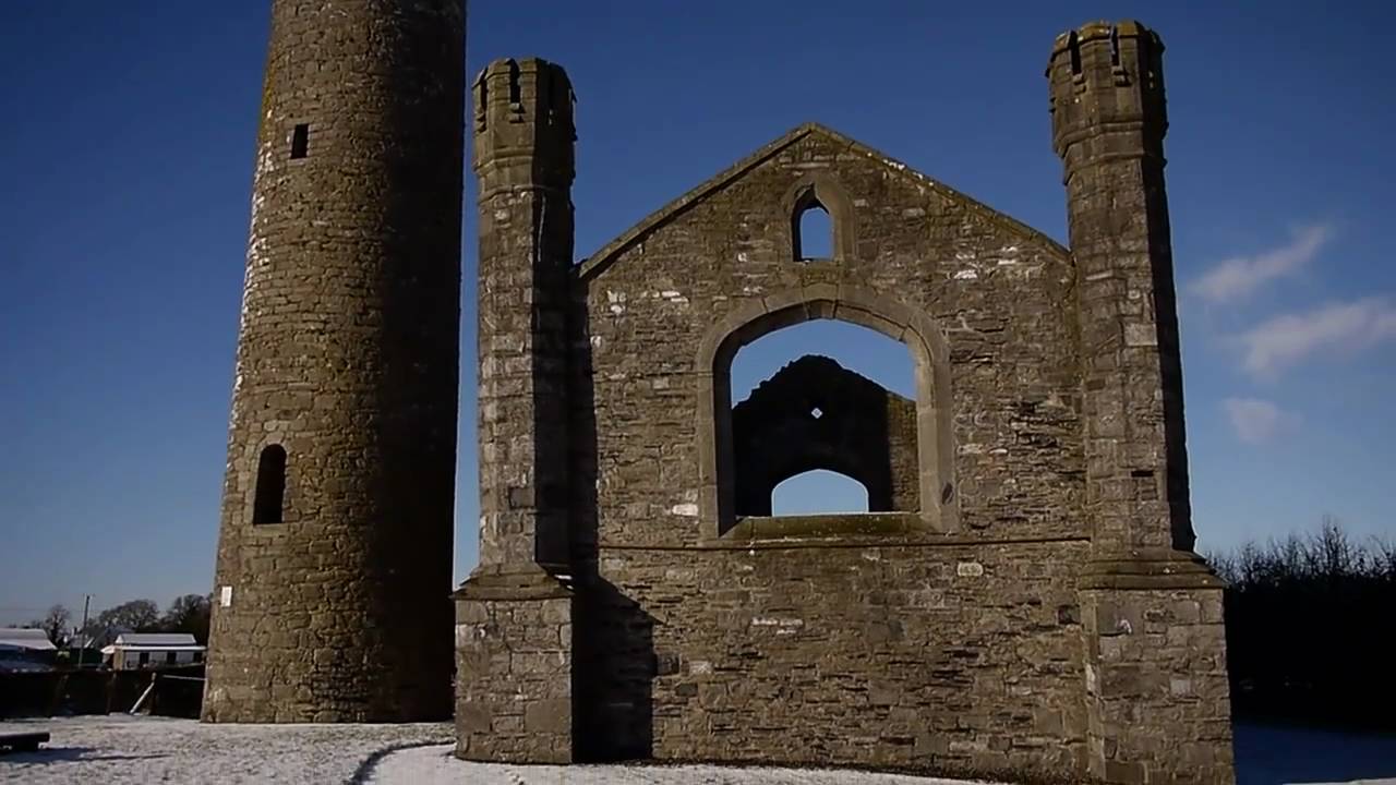 Church (in Ruins)Church · 8 yd
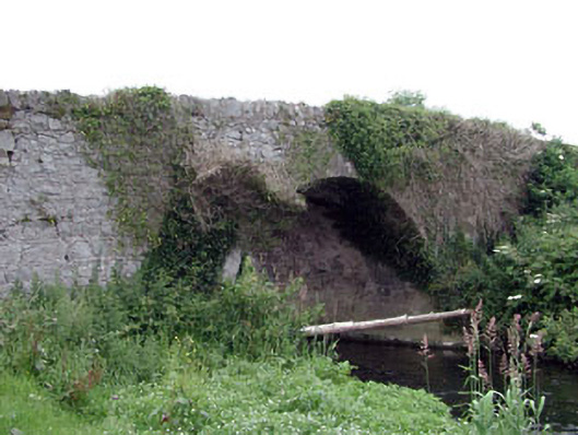 Newtown Bridgebridge · 389 yd
 Enclosure in BlackcastleEnclosure · 456 yd
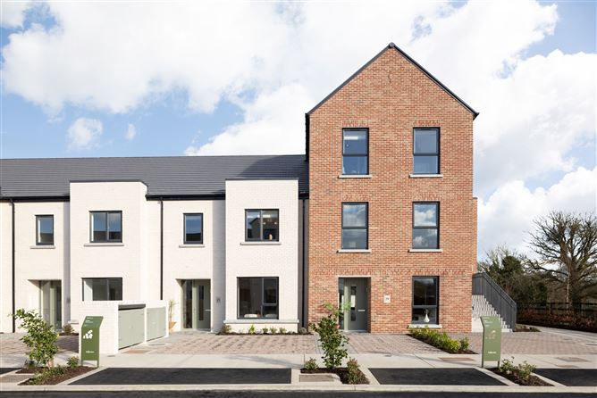 Enclosure in NewtownpilsworthEnclosure · 1099 yd
 Castle in ruinsCastle, unclassified · 1.0 mi
 Castle (in ruins)Castle, tower house · 1.5 mi
 Oak Park Forest ParkWood · 2.2 mi
 Pedunculate OakPedunculate Oak · 2.3 mi
 Lorcán Ó TuathailMemorial · 3.1 mi
 ProclamationMemorial · 3.2 mi
 Franciscan FriaryHeritage attraction · 3.5 mi
 Castledermot Round TowerHeritage attraction · 3.6 mi