What is recorded here
Located on a slight E-facing slope. The cropmark of portion of a curved ditch feature (C c. 30m) is visible on digital aerial photographs (WX040-091_1 to _3) taken in 2006.
Compiled by: Michael Moore
Date of upload: 19 February, 2013
The monument record does not grant public access. Check the route and ask the landowner before entering private land.
- What survives
- Recorded monument
Places near here
 Embanked enclosureFairy fort / ringfort · 541 yd
 Enclosure in DunmainEnclosure · 934 yd
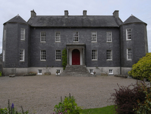 Dunmain Housefarm house · 1003 yd
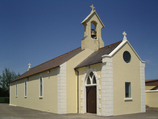 Catholic Church of Saint John the Baptistchurch/chapel · 1231 yd
 Rathumney Castle (in ruins)Castle, hall-house · 1.0 mi
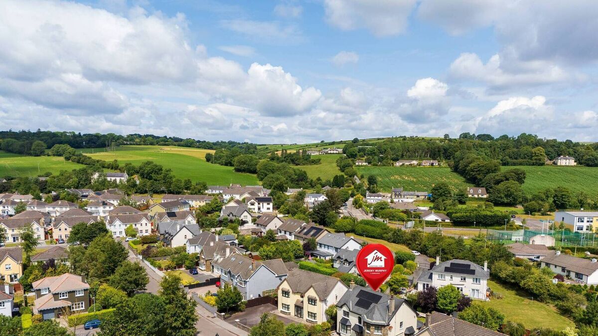 CastleCastle, unclassified · 1.2 mi
 Tinnock RockNamed rock · 2.6 mi
 SlievecoiltiaMountain / peak · 3.1 mi
 Campile WWII Bombing MemorialMemorial · 3.2 mi
 Devon whitebeamDevon whitebeam · 3.7 mi
 Dunbrody Abbey Visitor CentreHeritage attraction · 3.9 mi
 Dunbrody Abbey Hedge MazeHeritage attraction · 3.9 mi