What is recorded here
One owner erased the final visible traces of the church and graveyard in the 1860s, leaving behind a tower, a faint grass-covered platform and a flat hillock marked by shallow undulations. The graveyard once filled that summit, bounded by a thin northern bank and sudden drops to the east and south. Sheep still walk above the buried parish, stepping across ridges that may have been graves before they became grass.
On top of a hillock, with steep descent to E and S; in pasture. Graveyard appears to have occupied flat top of hillock (c. 50m E-W; c. 30m N-S); delimited by denuded earthen bank to N (H c. 0.5m); by sharp fall in ground to E and S, traces of levelled bank at SE corner; to W line of levelled bank follows break in slope. Interior area uneven with low undulations, either due to burials or cultivation ridges. No evident gravemarkers. Slightly NE of centre, 4-storey tower (CO083-013003-) stands on site of former parish church of Dunisky (CO083-013002-); only visible trace of church is slight grass-covered platform (c. 24m E-W; c. 10m N-S) immediately W of tower. Though 1615 report says no remains of church in parish (Brady 1863, vol. 1, 310), Lewis (1837, vol. 1,582), mentions ruins of 'a small building' in graveyard; 1842 OS 6-inch map depicts ruinous building on E side of tower (9692); according to Fitzgerald (1930, 87) some remains visible until 1860s when 'a late owner destroyed all traces of the church and graveyard'.
The above description is derived from the published 'Archaeological Inventory of County Cork. Volume 3: Mid Cork' (Dublin: Stationery Office, 1997). In certain instances the entries have been revised and updated in the light of recent research.
Date of upload/revision: 14 January 2009
The monument record does not grant public access. Check the route and ask the landowner before entering private land.
- What survives
- Recorded monument
Places near here
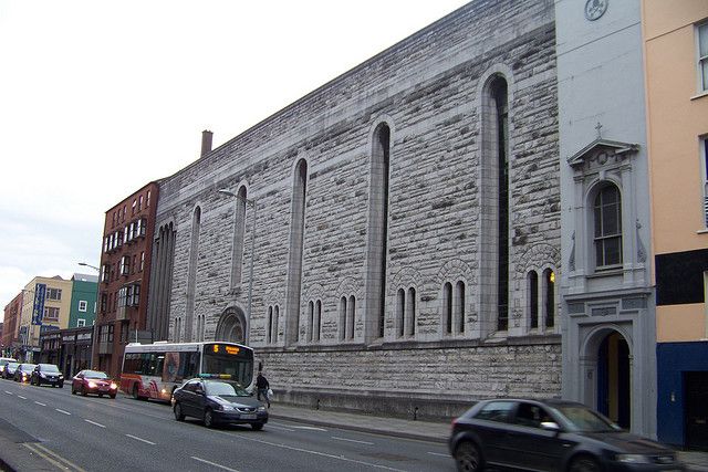 Dunisky Church (Site of)Church · 19 yd
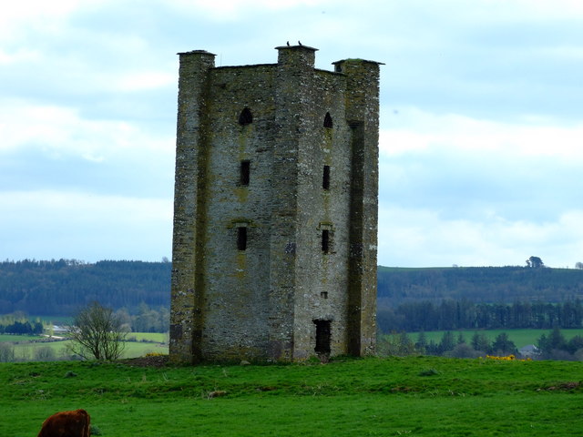 Beamish's Towerfolly · 98 yd
 Castle (Site of)Castle, unclassified · 400 yd
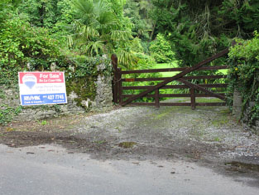 De Lacour Housecountry house · 505 yd
 Stephen's WoodForest · 1709 yd
 Summerhouse WoodForest · 1.1 mi
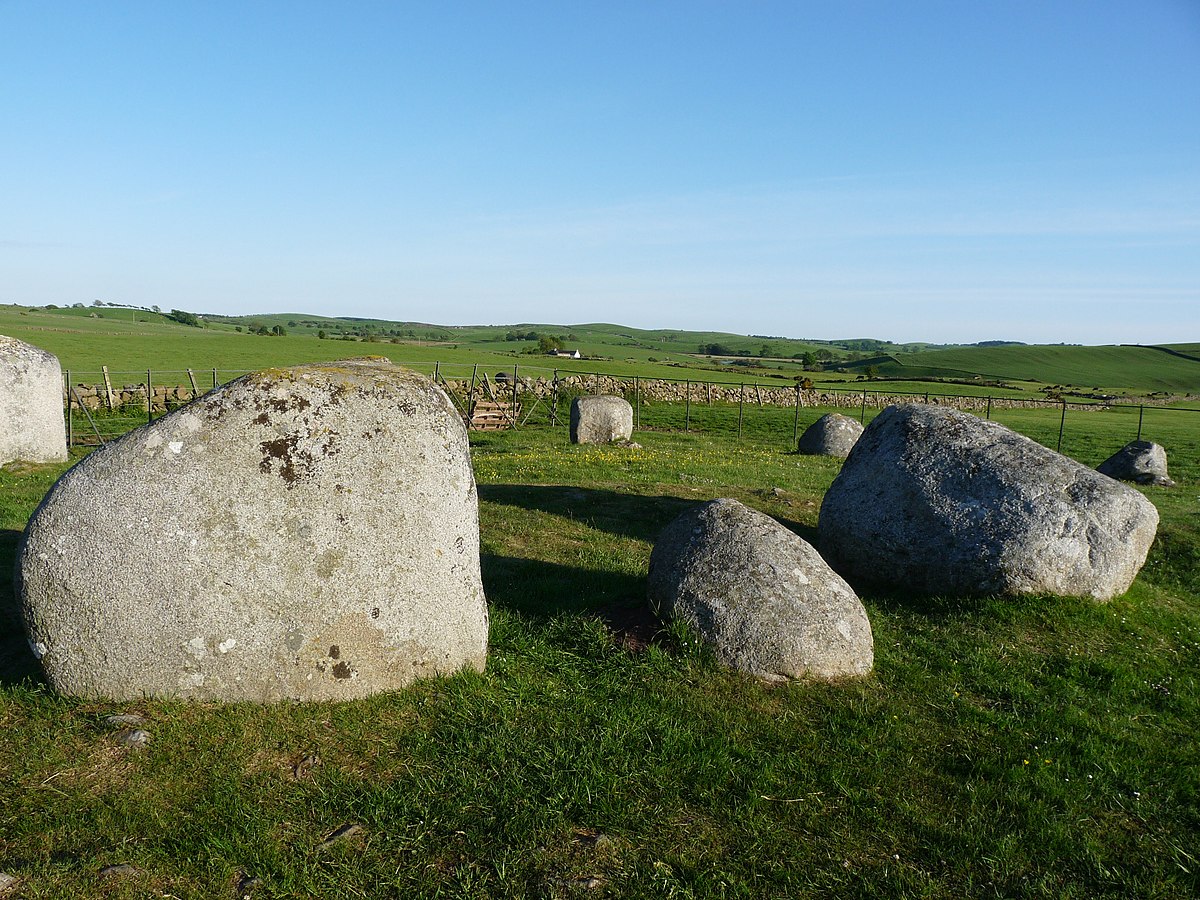 BarrowBarrow, ring-barrow · 1.1 mi
 Mashanaglass Castle (in Ruins)Castle, tower house · 1.7 mi
 Priest MemorialMemorial · 1.8 mi
 Kilmurry WoodsPicnic place · 1.9 mi
 Independence MuseumMuseum · 2.2 mi
 Battle of Macroombattle · 3.3 mi