What is recorded here
In a tillage field. Monument identified by Brian Dwyer and James Burke as a cropmark on an aerial photograph taken by a drone (21 July 2018). A circular enclosure (diam. c. 20m) defined by a fosse with a break in the fosse in the NE quadrant probably indicating the entrance. There may be a small internal ring-ditch (diam. c. 5m) in the N sector. An upstanding field boundary runs roughly E-W immediately S of the enclosure. Another enclosure (KK021-048----) is located c. 220m to the NNE.
See attached images by Brian Dwyer and James Burke (21 July 2018)
Compiled by: Jean Farrelly
Date of upload: 23 July 2018
The monument record does not grant public access. Check the route and ask the landowner before entering private land.
- What survives
- Recorded monument
Places near here
 Enclosure in DuningaEnclosure · 242 yd
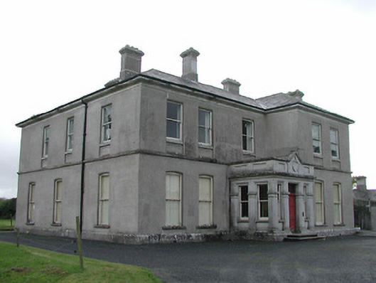 View Mountcountry house · 536 yd
 Paulstown Castlecountry house · 679 yd
 Enclosure in PaulstownEnclosure · 1144 yd
 Site of CastleCastle, unclassified · 1.4 mi
 The Green GardenWood · 1.5 mi
 Church (in ruins), GraveyardChurch · 2.3 mi
 Lord Galmoys Catle (in ruins)Castle, unclassified · 2.4 mi
 Lock Keeper's House and Lodge MillsVisitor information · 3.3 mi
 The Columban WayVisitor information · 3.6 mi
 HawthornHawthorn · 5.0 mi
 St. Mogarra’s WellSpring · 5.7 mi