What is recorded here
ODwyers Well (site of) is a well in Dundrum, County Tipperary, Ireland. The inventory recorded no surface remains of the filled-in well on wet grassland on a northwest-facing slope. It placed the site immediately west of a northwest-to-southeast field boundary and beside a large pond to the southeast. The account suggested a possible association with a castle 60 metres to the southeast that was owned by the O'Dwyers.
On wet grassland on NW-facing slope of rising ground with good views to W and N higher ground to S. Castle (TS052-044001-) 60m to SE. No surface remains of filled in well which was located immediately W of field boundary running NW-SE with large pond immediately to the SE. The well is possibly associated with the castle which was owned by the O'Dwyers.
Compiled by: Jean Farrelly
Date of upload: 26 August 2011
The monument record does not grant public access. Check the route and ask the landowner before entering private land.
- What survives
- Recorded monument
Places near here
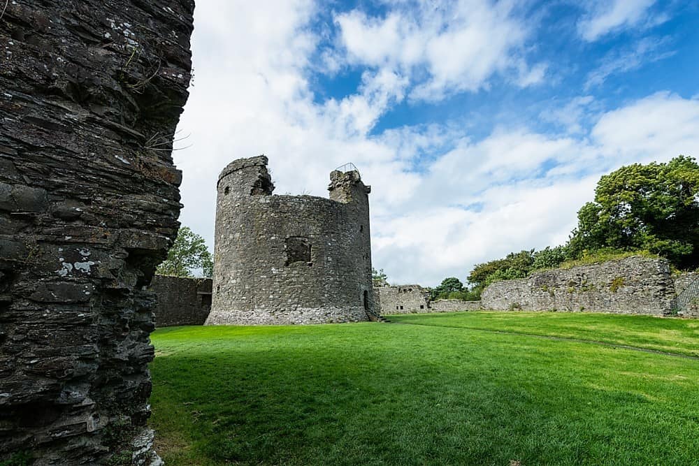 Site of CastleCastle, unclassified · 56 yd
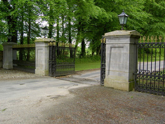 Dundrum Housegates/railings/walls · 480 yd
 Wooden Br.Bridge · 516 yd
 Woodcock GroveWood · 536 yd
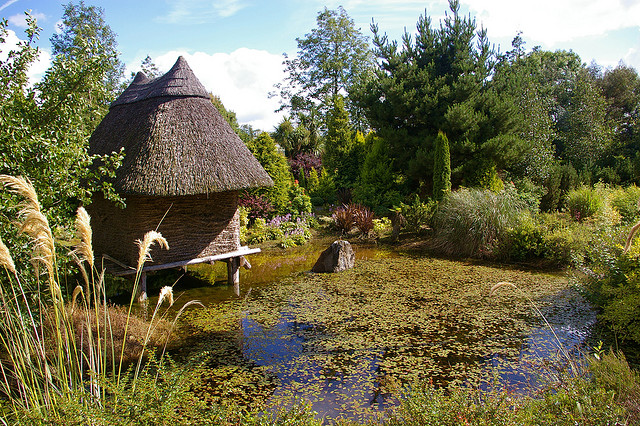 Enclosure in DundrumEnclosure · 827 yd
 Wych ElmWych Elm · 1163 yd
 IndicatedEnclosure · 1.0 mi
 Ballagh CastleCastle · 2.4 mi
 Clonoulty HillMountain / peak · 4.6 mi
 GortnageraghMountain / peak · 8.9 mi
 creamerycreamery · 786 yd
 Able Manorcountry house · 813 yd