
What is recorded here
Situated in pasture. Annotated 'Dundonnell Castle' (WM025-010----) and depicted on the 1837 ed. OS 6-inch map as a rectangular-shaped structure standing in N quadrant of rectangular shaped bawn (WM025-010002-) with roadway running from NE side of bawn towards present public road. This roadway (approx. L. 400m) is clearly visible today on Digital Globe aerial photograph as a possible sunken way (approx. Wth 10m) flanked on either side by a low earth and stone bank which connects the castle with the public road to the NE. At the SW end of the roadway there are a series of smaller enclosures containing cultivation ridges of uncertain antiquity.
Compiled by Alison McQueen, Vera Rahilly and Caimin O’Brien.
Date of upload: 03 September 2019
The monument record does not grant public access. Check the route and ask the landowner before entering private land.
- What survives
- Recorded monument
Places near here
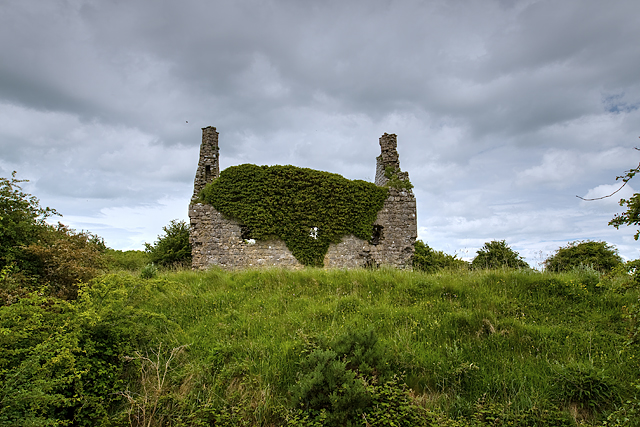 Dundonnell CastleCastle, unclassified · 293 yd
 Jamestown Househouse · 691 yd
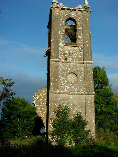 Churchtown Churchchurch/chapel · 1331 yd
 Tober FintanHoly well · 1373 yd
 Ancient Ring FortWood · 1402 yd
 Fieldtown CastleCastle · 1659 yd
 Settlement desertedSettlement deserted, medieval · 1.1 mi
 Hill of UisneachMountain / peak · 3.7 mi
 European ashEuropean ash · 4.6 mi
 Carrickphilbin IslandIslet · 5.1 mi
 Srudarra IslandIslet · 5.3 mi
 Abbeyshrule AbbeyRuins · 9.1 mi
Other information
Photo: Credit not shown in the picture search · Rights wording not checked; contact us if this picture should be removed