What is recorded here
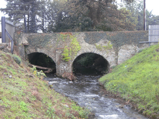
Double-arched bridge carrying road over unnamed stream\tributary flowing into the River Foyle to the east, built c. 1710, having V-profile rubble stone cutwater to central pier to both upstream and downstream elevations. Modern repairs in places. Round or segmental-headed arches having small rubble stone voussoirs; rubble stone construction to arch barrels. Random rubble stone construction to piers, spandrels, and parapets; rubble stone coping over parapets with cement coping in places. South end of parapet to the east rebuilt. Rubble stone wing walls to the north end of parapets. Tarmacadam deck with grass verges. Located to the north end of Saint Johnstown.
This simple but appealing double-arched road bridge retains much its early character and form despite some damage and alterations, and is an appealing feature in the streetscape to the north end of the village of Saint Johnstown This bridge is robustly-constructed in local rubble stone masonry, and its continued survival and use stands as testament to the quality of its original construction, and of the skill of the masons involved. The form of this bridge with small arches with rubble stone voussoirs and central pier with V-profile cutwater suggests that this bridge is of an early date, probably dating to the first half of the nineteenth century. A bridge is indicated here on Moll’s map of Ireland of 1714, which may well be this edifice. The bridge was mentioned on 13th March 1752 in the Abercorn Papers, the proprietor of the area at the time. It is possible that this bridge dates back to the foundation of Saint Johnstown during the first half of the seventeenth century. This appealing bridge is an integral element of the built heritage and transport heritage of the local area, and makes a positive contribution to the landscape.
This does not grant access. Most recorded buildings are privately owned; view them only from public ground unless the owner allows entry.
Places near here
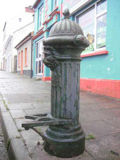 water pumpwater pump · 157 yd
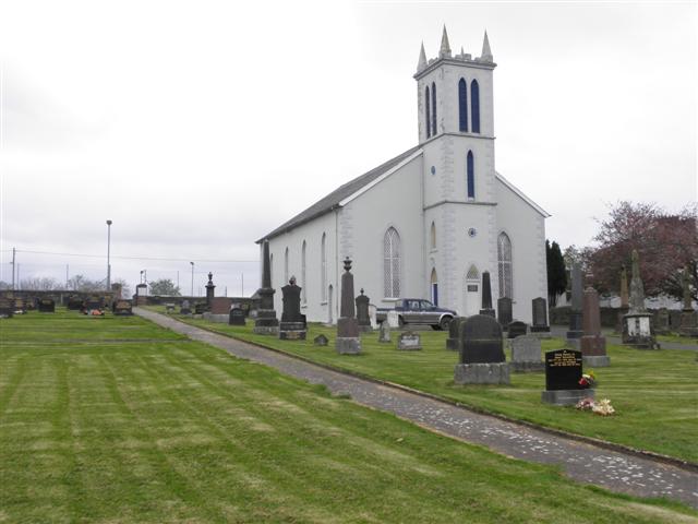 St. Johnstown Presbyterian Churchchurch/chapel · 263 yd
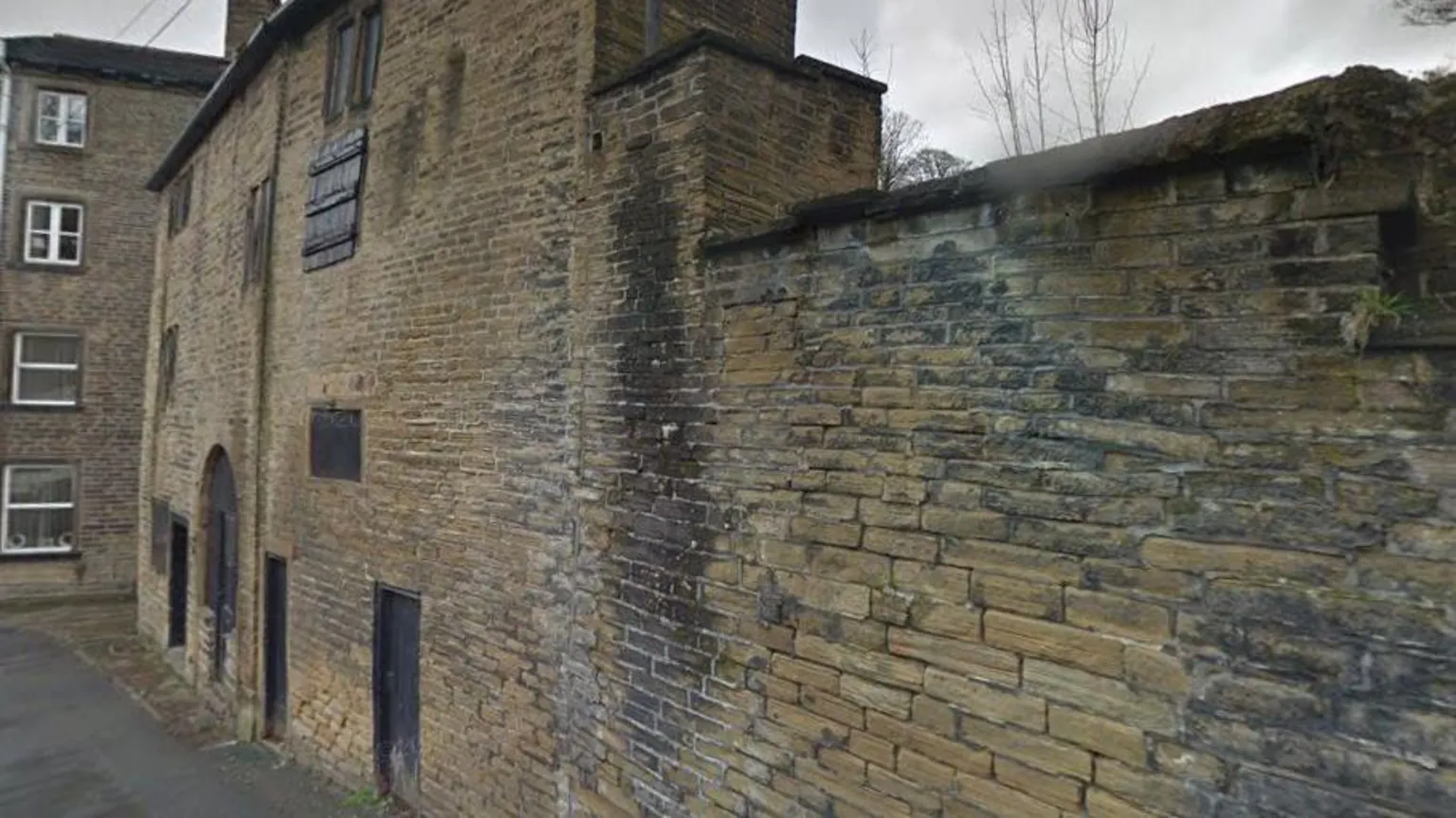 Former Clashygowan EnclosureEnclosure · 764 yd
 Former Saintjohnstown EnclosureEnclosure · 995 yd
 CastleCastle, unclassified · 1.7 mi
 Mongavlin CastleHouse, fortified house · 2.2 mi
 Gortmonly HillMountain / peak · 3.3 mi
 BATTLE SITE: BATTLE OF THE FORDS, Northern crossing, 1689 in Ballydonaghy; Greenlaw; LeckpatrickBATTLE SITE: BATTLE OF THE FORDS, Northern crossing, 1689 · 4.2 mi
 Emmery Celtic CrossWood · 4.5 mi
 Feddyglass WoodWood · 4.7 mi
 Grianán of AileachFairy fort / stone ringfort · 6.2 mi
 Apprentice Boys of Derry and Siege MuseumMuseum · 6.8 mi
Other information
Photo: National Inventory of Architectural Heritage · Website use allowed for educational or private purposes with source credit