What is recorded here
Located on a level landscape. The cropmark of a small ring-ditch (diam. c. 8m) is visible on Bing images (c. 2013). It is also visible on Google Earth (12/07/2013; 24/06/2018), and is located just N of a modern ENE-WSW field bank with drains on either side that is now removed but the drains are visible as cropmark features. The ring-ditch was first noted by Donal Lucy and the enclosure (ME050-032001-) and ring-ditch (ME050-032002-) are c. 250m to the S. A gradiometer survey (17R0075) by Earthsound confirmed the presence of this feature and identified some other anomalies, which were archaeologically tested (17E0399) by D. McIlreavy (excavations.ie 2017:431). This feature was not tested as it will be preserved in situ within the development (McIlreavy 2017).
See the attached enhanced view from Bing images (2013)
Compiled by: Michael Moore
Date of upload: 24 February, 2016
Amended: 3 November, 2021
The monument record does not grant public access. Check the route and ask the landowner before entering private land.
- What survives
- Recorded monument
Places near here
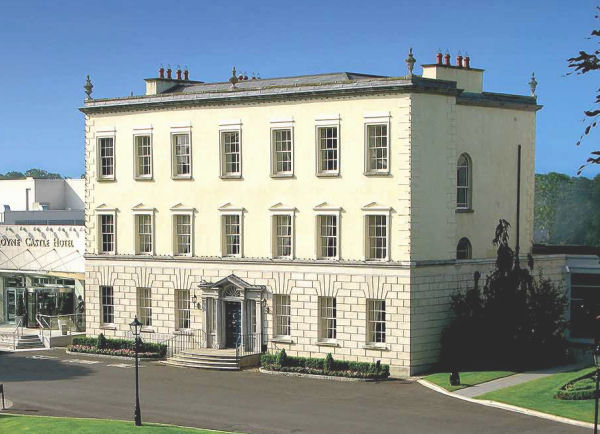 Enclosure in DunboyneEnclosure · 294 yd
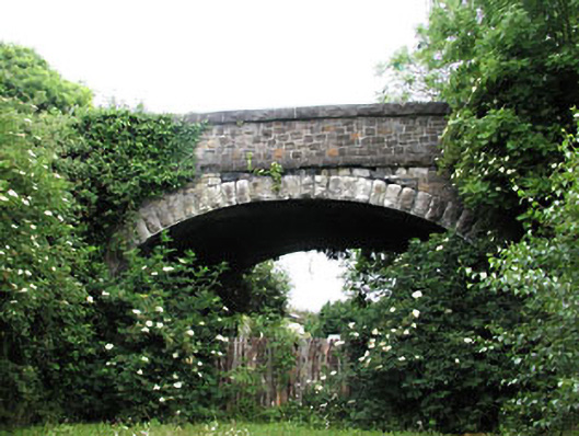 bridgebridge · 513 yd
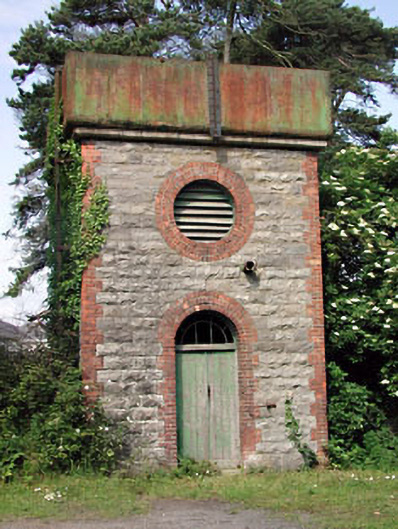 Dunboyne Railway Stationwater tower · 530 yd
 Enclosure in LoughsallaghEnclosure · 724 yd
 CastleCastle, ringwork · 1060 yd
 TyrrelstownWood · 2.9 mi
 Church, GraveyardChurch · 3.0 mi
 Wesley's WoodsWood · 3.0 mi
 Graveyard in BuzzardstownGraveyard · 3.1 mi
 Luttrellstown CastleCastle · 3.5 mi
 Blanchardstown Centre information deskVisitor information · 3.6 mi
 Berkeley Costume and Toy CollectionMuseum · 5.6 mi