What is recorded here
Scotland's National Record of the Historic Environment records Dunmore as Steamship (period Unassigned)-(1882). The official map says its point is accurate as follows: NGR given to the nearest 1m. The record does not by itself mean that the public may enter the place.
The *Dunmore* was a steamship built in 1882, likely operating in Scottish waters. It was lost without recorded details of date, cause, or casualties, though its precise location remains documented in Scotland's National Record of the Historic Environment.
The historic-place record does not grant public access. Check current conditions and ownership before entering land or a building.
Places near here
 Ballyquintin Point Nature ReserveNature reserve · 236 yd
 Mullog PointHeadland · 1.6 mi
 Kilclief BeachBeach / strand · 1.8 mi
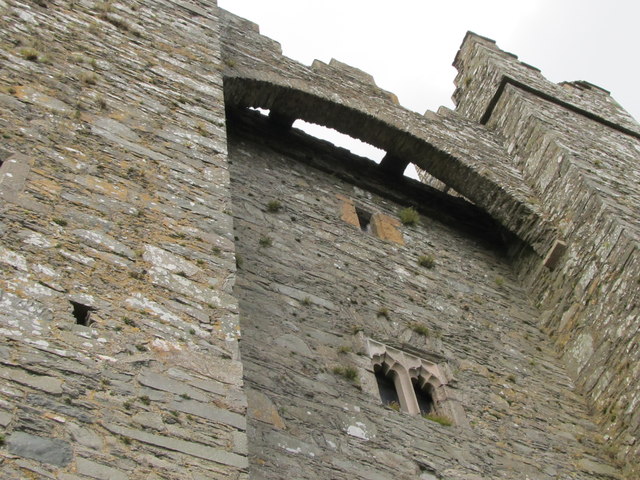 TOWER-HOUSE & C13th COFFIN LID: KILCLIEF CASTLE in KilcliefTOWER-HOUSE & C13th COFFIN LID: KILCLIEF CASTLE · 1.8 mi
 Kilclief CastleCastle · 1.8 mi
 Parish ChurchChurch · 1.9 mi
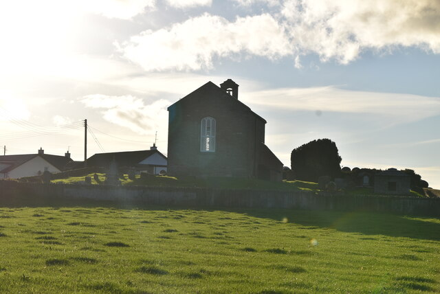 ANGLO-NORMAN COFFIN LIDS (2) (in C. of I. church) & site of MEDIEVAL CHURCH in KilcliefANGLO-NORMAN COFFIN LIDS (2) (in C. of I. church) & site of MEDIEVAL CHURCH · 1.9 mi
 Strangford Holiday Park Picnic AreaPicnic place · 2.0 mi
 Millin Bay CairnArchaeological place · 2.4 mi
 Sandy IslandIslet · 2.7 mi
 MEDIEVAL CHURCH & GRAVEYARD: BALLYTRUSTAN; THRUSTAYNISTONE in BallytrustanMEDIEVAL CHURCH & GRAVEYARD: BALLYTRUSTAN; THRUSTAYNISTONE · 2.8 mi
 MEDIEVAL CHURCH RENLES in Killard UpperMEDIEVAL CHURCH RENLES · 2.8 mi