What is recorded here
Scotland's National Record of the Historic Environment records Obstruction as Obstruction (period Unassigned). The official map says its point is accurate as follows: NGR given to the nearest 1m. The record does not by itself mean that the public may enter the place.
The historic-place record does not grant public access. Check current conditions and ownership before entering land or a building.
Places near here
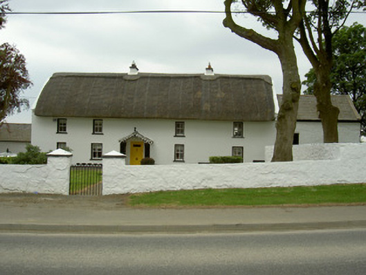 Rampark Farmhousehouse · 2.2 mi
 Man-made underground passageFairy fort / earthen ringfort · 2.2 mi
 Rockmarshall Court TombArchaeological place · 2.2 mi
 Saint Mary's Catholic Churchchurch/chapel · 2.4 mi
 Soldiers' PointHeadland · 2.5 mi
 Annaloughan MountainMountain / peak · 2.9 mi
 SlievenagloghMountain / peak · 3.0 mi
 CastleCastle, tower house · 3.9 mi
 Louth County MuseumMuseum · 4.0 mi
 Bombing 1975Memorial · 4.2 mi
 Maid of ErinMemorial · 4.2 mi
 Proleek DolmenArchaeological place · 4.3 mi