What is recorded here
Glebe is a graveyard on a rise in County Meath, Ireland, where an early church still stands at the summit of a D-shaped mound. People extended the grave yard repeatedly, adding masonry and cement walls as death and memory grew. Hurricane Ophelia broke parts of the wall in 2017, exposing how much of the place depends on human upkeep. The high cross base and underground passage suggest Glebe has long served more than ordinary burial.
Situated on a rise in an undulating landscape. The early church (ME011-037----) is at the summit of the mound of a D-shaped graveyard (dims c. 60m E-W; c. 35m N-S) defined by an earth and stone bank (Wth 2.6-4.5m; int. H 0.2; ext. H 0.7m) SW-NW or a scarp (H 0.7-1m), but this obscures a wall which is visible at S (L c. 20m; H 0.3m). The graveyard was extended all round and defined anew with a masonry wall (max. dims c. 70m E-W; c. 40-65m N-S), although it may have truncated the old graveyard slightly on the N side. The headstones in the newly enclosed area date from c. 1900. Since then the graveyard has been extended to the N (dims c. 50-65m NNE-SSW; c. 60m WNW-ESE) where it is defined by cement walls. The base of a high cross (ME011-037005-) is in the graveyard N of the church. Man-made underground passage (ME011-035----) is outside the graveyard to the W. Parts of the graveyard wall, at SE and SW, collapsed as a result of hurricane Ophelia in 2017.
Compiled by: Michael Moore
Date of upload; 22 May, 2014
Amended: 14 June, 2018
The monument record does not grant public access. Check the route and ask the landowner before entering private land.
- What survives
- Recorded monument
Places near here
 ChapelChurch · 15 yd
 Addie's WoodWood · 353 yd
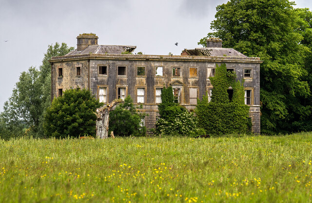 Williamstowncountry house · 364 yd
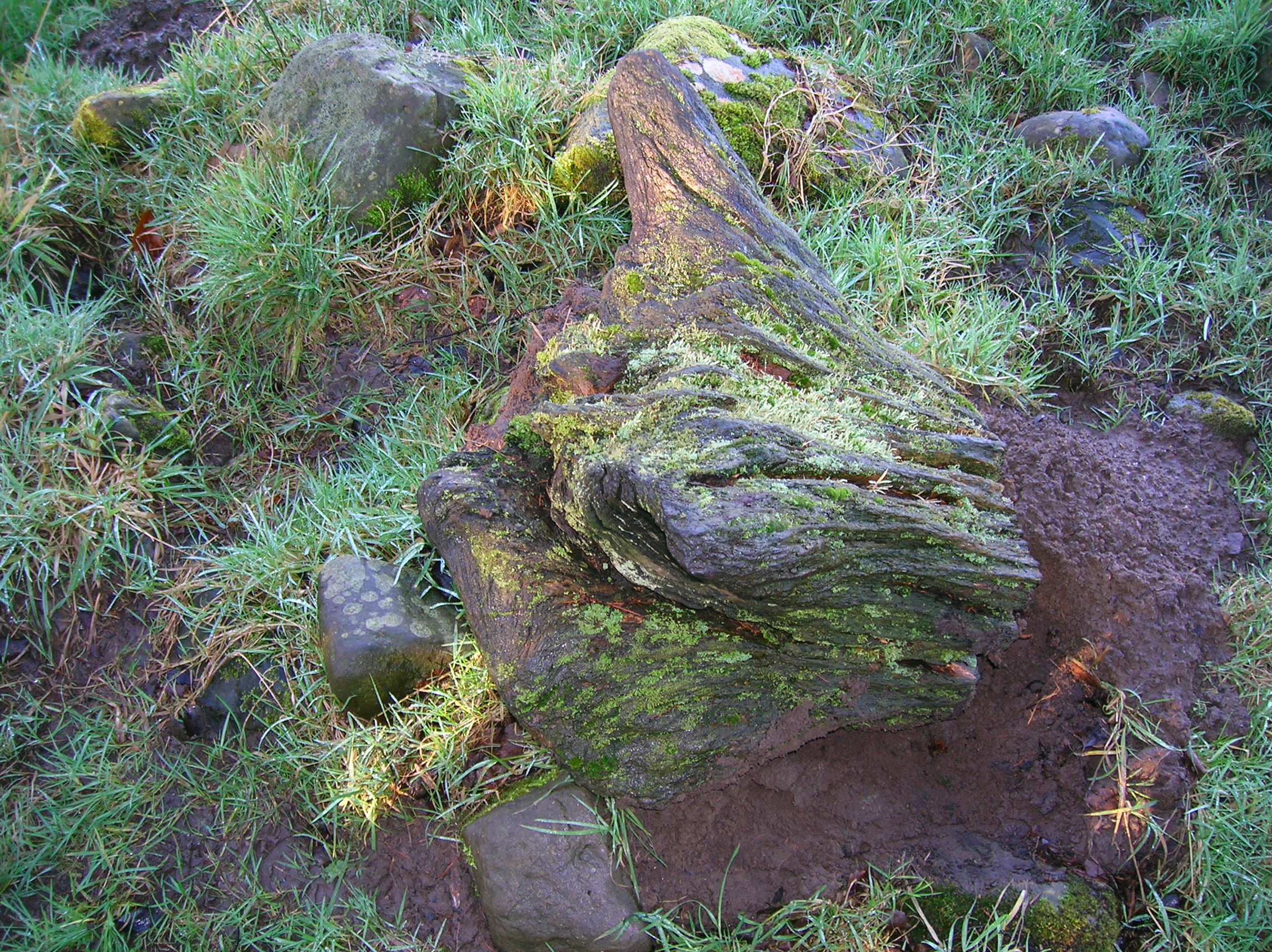 Zephyr Bog WoodWood · 811 yd
 Standing StoneArchaeological place · 1723 yd
 MountainpoleMountain / peak · 1752 yd
 Kells Anglers Association MemorialMemorial · 1.3 mi
 Fulacht fia in Archdeaconry GlebeFulacht fia · 1.4 mi
 John Mac MahonMemorial · 1.5 mi
 DeerparkMountain / peak · 1.8 mi
 CastleCastle, unclassified · 1.8 mi
 Black WoodWood · 865 yd