What is recorded here
Yes. An ecclesiastical enclosure in Dulane, County Meath, wore two ditches on its northern edge, one broad and deep enough to stop a charging horse. The graveyard stood beside that hidden boundary, perhaps keeping the older church within its own circle of marks. People may have walked past the ditch for generations before digging opened it again.
Archaeological testing (96E0118) in advance of a graveyard extension explored an area (dims c. 60m E-W; c. 30m N-S) N of the old graveyard. An E-W ditch (Wth of top 2.3-3.5m; D 1.3) with stratified layers was encountered in two trenches c. 5m from the graveyard wall and parallel with it. Immediately outside this feature a larger fosse (Wth of top 4m plus; D 2.3m plus) was encountered, and both of these ditches may be from the N edge of an ecclesiastical enclosure. (Meenan 1996; 1996a; 1997)
Compiled by: MIchael Moore
Date of upload: 9 April, 2019
The monument record does not grant public access. Check the route and ask the landowner before entering private land.
- What survives
- Recorded monument
Places near here
 ChapelChurch · 39 yd
 Addie's WoodWood · 381 yd
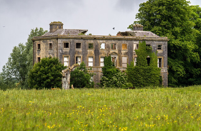 Williamstowncountry house · 399 yd
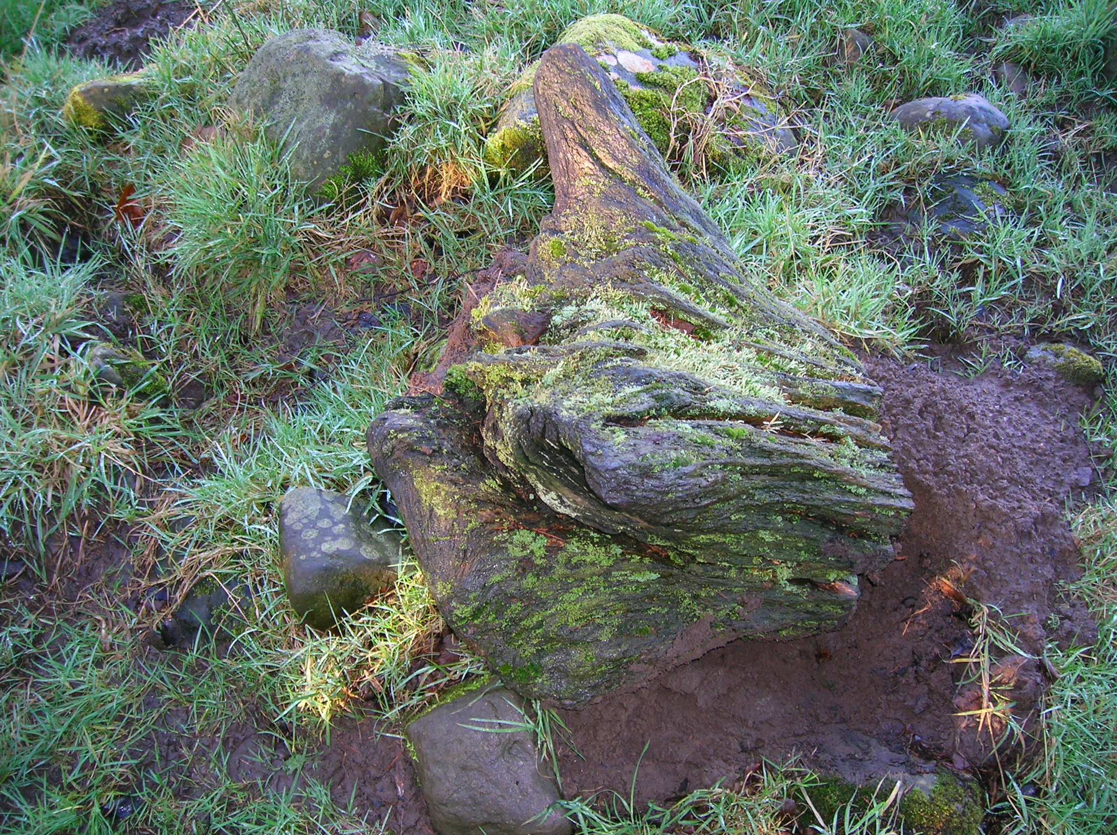 Zephyr Bog WoodWood · 833 yd
 MountainpoleMountain / peak · 1750 yd
 Standing StoneArchaeological place · 1758 yd
 Kells Anglers Association MemorialMemorial · 1.3 mi
 Fulacht fia in Archdeaconry GlebeFulacht fia · 1.4 mi
 John Mac MahonMemorial · 1.6 mi
 DeerparkMountain / peak · 1.8 mi
 CastleCastle, unclassified · 1.8 mi
 Lime Kiln PlantationWood · 890 yd