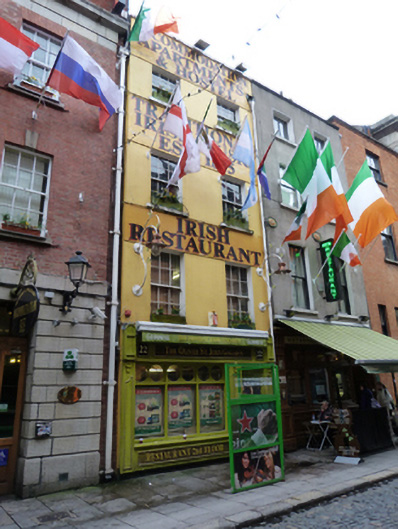
What is recorded here
Attached two-bay four-storey former house, built c.1800, with recent shopfront to front (west) elevation. Now in use as hostel, restaurant and public house. Hipped slate roof, set perpendicular to street, hidden behind rendered parapet having masonry coping, cast-iron rainwater goods breaking through parapet. Smooth rendered walls with recent fasciae. Square-headed window openings having masonry sills and six-over-six pane timber sliding sash windows. Situated to east and north of Anglesea Street.
Anglesea Street was largely developed by the mid-eighteenth century and appears on John Rocque’s 1756 map of Dublin. A house, workshop and yard, occupied by a Edward T. Smith, picture manufacturer, are recorded in Griffith’s Primary Valuation at this address. A dwelling is recorded in the 1901 census while a dwelling and shop is recorded in the 1911 census. The decreasing scale of fenestration creates a pleasingly balanced façade, giving prominence to the reception rooms of the lower floors, while the retention of timber sliding sash windows contributes to the patina of age evident in the composition. This modest building adds to the architectural character of the streetscape.
This does not grant access. Most recorded buildings are privately owned; view them only from public ground unless the owner allows entry.
Places near here
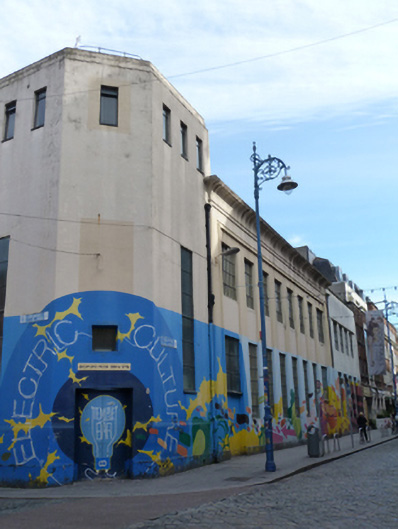 ESB Central Distributing Stationelectricity substation · 58 yd
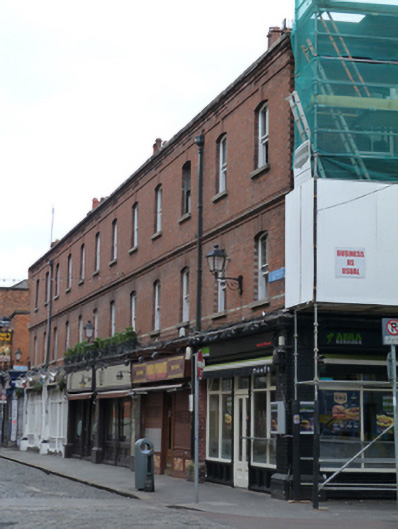 Elephant & Castle / Boxty / Pablo Picante / Abrakebabrashop/retail outlet, apartment/flat (purpose-built) · 58 yd
 Thomas Osborne DavisMonument · 135 yd
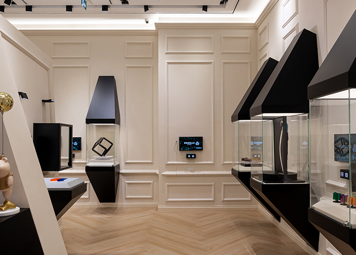 Illusion Museum DublinMuseum · 142 yd
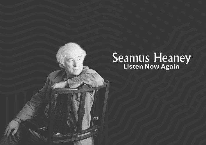 Seamus Heaney: Listen Now AgainMuseum · 161 yd
 Mound in Unknown TownlandMound · 184 yd
 Fireman John KiteMemorial · 205 yd
 St Winifred's WellMemorial · 227 yd
 Tourist Information CentreVisitor information · 380 yd
 Bigleaf MapleBigleaf Maple · 383 yd
 Battle of DublinMajor battlefield · 443 yd
 Oriental planeOriental plane · 486 yd
Other information
Photo: National Inventory of Architectural Heritage · Website use allowed for educational or private purposes with source credit