What is recorded here
In rough fern-covered grazing on an E?W terrace on a N-facing hillslope with a view N to the mouth of Tralee Bay. A roughly D-shaped hut (dims. 4m E-W) with a straight E side (L 2.8m) is defined by a partially collapsed, roughly built drystone wall (T 0.7m; H 0.6m at N and H 1m at S) cut into a bank at S (D 0.8m). A D-shaped annex (dims. 1.3m E-W) with a straight E side (L 1.2m) is partially roofed (H 0.8m) with stone slabs and is located internally in the W corner. The entrance (Wth 0.6m) is at E. The level interior is covered with rubble and ferns. Hut site (KE036-095008-) is c. 20m to the N and hut site (KE036-095006-) is c. 16m to the E.
Date of upload: 24 January 2022
The monument record does not grant public access. Check the route and ask the landowner before entering private land.
- What survives
- Recorded monument
Places near here
 Hut site in Duagh (corkaguiny By.)Hut site · 21 yd
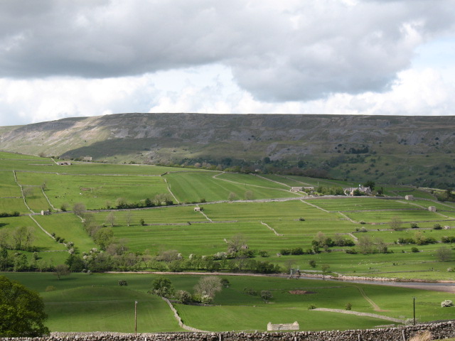 Cultivation ridges in GlanmaneCultivation ridges · 429 yd
 Church in Duagh (corkaguiny By.)Church · 718 yd
 Church in Arraglen (corkaguiny By., Castlegregory Ed),killiney,tullig (corkaguiny By., Castlegregory Ed)Church · 1326 yd
 KnockbegMountain / peak · 1.5 mi
 CummeenMountain / peak · 1.6 mi
 Graveyard in Baile An Chnocáin (tc An Cnoc Glas)Graveyard · 2.5 mi
 Faisr's GraveArchaeological place · 2.8 mi
 Site of Camp CastleCastle, unclassified · 2.8 mi
 Glanteenassig Forest ParkForest · 3.0 mi
 CastleCastle, unclassified · 3.2 mi
 Sandy Bay BeachBeach / strand · 4.9 mi