What is recorded here
No amount of rain or ploughing can erase the memory of a border drawn in earth. The fort stands on a hidden rock plug beside the Shannon, waiting for the river to reveal why it was built.
Located on a rise in the flood-plain of the N-S River Shannon, although the ground rises c. 50m to the E. It is on the E bank and the river diverts around it a little N-W, so it may be on a plug of rock-outcrop, although none is visible at the surface. It was first identified by S. Curran from a LIDaR survey conducted for Leitrim County Council in advance of a proposed by-pass on the N4 around Carrick-on-Shannon.
This is an oval grass-covered area (dims 34.4m N-S; 26.1m E-W) defined by an earthen bank (Wth 3-3.2m; int. H 0.1m at W to 0.8m at N; ext. H 1.5m at W to 2.2m at N) with bushes W-N, and by a rounded fosse (Wth of top 8.9-9.4m; int. D 0.4-0.6m; ext. D 0.1-0.5m) N-SSE, but the original perimeter cannot be traced elsewhere. The limit is defined by an E-W field bank at S (L c. 25m) and a N-S scarp (L c. 22m) at W. There is no visible entrance. There is a berm (Wth 2-4m) at the base of the bank W-N, between it and the channel of the river.
Compiled by: Michael Moore
Date of upload: 9 April, 2013
The monument record does not grant public access. Check the route and ask the landowner before entering private land.
- What survives
- Recorded monument
Places near here
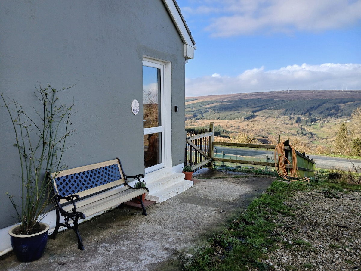 Enclosure in DrumsnaEnclosure · 165 yd
 Robert Strawbridge MemorialMemorial · 381 yd
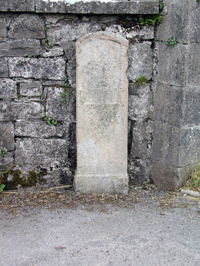 milestone/milepostmilestone/milepost · 383 yd
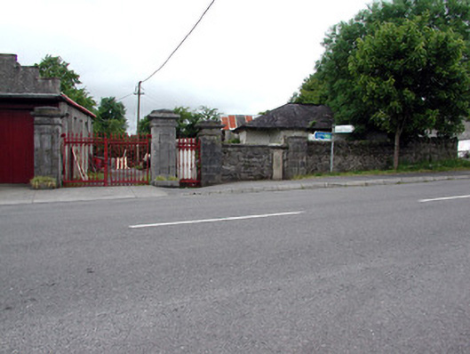 Mountcampbell Housegate lodge · 383 yd
 Patrick Gill Memorial Plaque (IRA)Monument · 389 yd
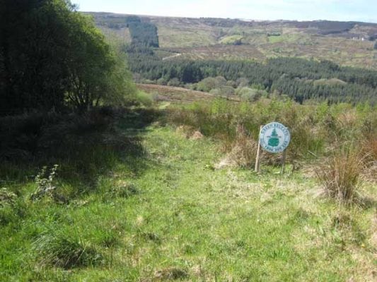 Embanked enclosureFairy fort / earthen ringfort · 762 yd
 Wildlife AreaNature reserve · 943 yd
 Site of Dangan CastleCastle, unclassified · 2.6 mi
 Moon RiverHeritage attraction · 3.5 mi
 InishmoylinIslet · 4.2 mi
 PortCastle, unclassified · 4.3 mi
 Coarse IslandForest · 4.4 mi