What is recorded here
Fairy fort in Drumsna, County Leitrim: a 65-metre grass ring on a drumlin slope, with a shallow fosse and low scarp instead of a proud wall. People called it a fairy fort because the shape appeared sudden and complete, as if the land had folded itself around a hidden room. A house and garden now bite into one edge, yet the circle still reads clearly from above, keeping its quiet claim on the hill.
Situated on a gentle S-facing slope of a drumlin. It is not depicted on any edition of the OS 6-inch map but it is visible as a circular feature on aerial photographs (OSAP: 2/8548-9) and some later series (OSAP: 2000; 2005). This is a grass-covered circular area (diam. 65m E-W; 62m N-S) defined by a fosse (Wth of base 2.9m; int. D 0.5m; ext. D 0.2m) SW-N and by a scarp (max. H 0.4m) elsewhere. The original entrance is not identified and the perimeter is slightly intruded on by a house and garden at NW.
The above description is derived from 'The Archaeological Inventory of County Leitrim' compiled by Michael J. Moore (Dublin: Stationery Office, 2003). In certain instances the entries have been revised and updated in the light of recent research.
Compiled by: Michael Moore
Date of revised upload: 17 October 2017
The monument record does not grant public access. Check the route and ask the landowner before entering private land.
- What survives
- Recorded monument
Places near here
 Catholic Church of the Immaculate Conceptionchurch/chapel · 644 yd
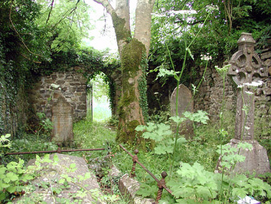 graveyard/cemeterygraveyard/cemetery · 664 yd
 Enclosure in CloonteemEnclosure · 669 yd
 Declaration of IndependenceMemorial · 678 yd
 IndicatedEnclosure · 681 yd
 Wildlife AreaNature reserve · 696 yd
 Robert Strawbridge MemorialMemorial · 721 yd
 Site of Dangan CastleCastle, unclassified · 2.6 mi
 CastlecarraCastle, unclassified · 3.4 mi
 InishmoylinIslet · 3.9 mi
 Moon RiverHeritage attraction · 4.1 mi
 Coarse IslandForest · 4.1 mi