What is recorded here
Mound in Drumsheen sits on a narrow ridge in County Mayo, offering endless views across bog and pasture toward the Ox Mountains. A tapering slab stands upright in its flat top while a separate stone waits nearby, suggesting the earth once marked a boundary, a burial or a warning. The slumped eastern end and hidden sandy base hint that people built, forgot and rebuilt the place across centuries.
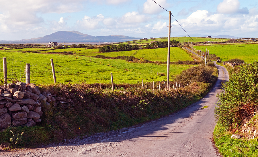
In average pasture, on the narrow top of a N–S ridge, with extensive views in all directions of the surrounding sharply undulating terrain of mixed pasture and bog. There is a stream c. 100m to E, beyond which there are expanses of bog, with the Ox Mountains defining the far horizon.
A sod-covered mound (5.3m N–S; 6.7m E-W; H 1.3m) of earth and stone, roughly oblong in plan, with a flat top. The W end of the mound is rounded or curving; the E end is poorly defined and broadly slumped. An upright slab (H 0.8m; Wth 0.9m; T 0.2m) tapering to a narrow point at top, with long axis E-W, is set deeply in the flat top of the mound. A denuded section of the mound on N side revealed a basal layer (D 0.3m) of orange, sandy silt with some small stones, above which the mound is composed of grey-brown, stony soil. A large boulder is incorporated into the N side of the mound, and a hawthorn bush grows from the base of the slope. A field wall on an E-W axis lies immediately to N. A standing stone (MA031-063----) is located 1.4m to E of the mound.
Compiled by: Jane O'Shaughnessy
Date of upload: 4 July 2018
A Neolithic passage tomb; its location on a prominent ridge suggests it was a significant ceremonial or burial site with wide visibility across the landscape.
The monument record does not grant public access. Check the route and ask the landowner before entering private land.
- What survives
- Recorded monument
Places near here
 Catholic Church of the Immaculate Heart of Marychurch/chapel · 1611 yd
 Enclosure in Carrownaglogh (gallen By.)Enclosure · 1721 yd
 IndicatedFairy fort / earthen ringfort · 1.5 mi
 Penitential station in RathreedaunPenitential station · 1.5 mi
 KnockasliggaunMountain / peak · 2.6 mi
 Largan HillMountain / peak · 3.0 mi
 Lough Talt TrailVisitor information · 4.0 mi
 CastleCastle, unclassified · 5.0 mi
 Castle (in Ruins)Castle, tower house · 6.3 mi
 Grave of the Black PigArchaeological place · 6.8 mi
 Wild Atlantic Way: Inishcrone PierVisitor information · 8.2 mi
 Hennigan's Heritage CentreHeritage attraction · 9.6 mi