What is recorded here
In pasture, located on a low ridge. Raised circular area or platform (34.5m N–S; 32.7m E–W) defined by an earthen bank (Wth 5-6m; int. H 0.3-0.5m; ext. H 1.75m, 3.4m at SE) with a pronounced external slope, which drops into a fosse (Wth 3.5-4m) with an external bank (Wth 4-5.5m; int. H 0.8-1.3m; 1-1.2m).
There is a gap (Wth 2m) in the bank at E, roughly faced with stones on the S terminal. It may be an original entrance; there is a corresponding low area in the outer bank. There is another break (Wth c. 2m) in the bank at N. Loose stone is evident scattered in the fosse and along the top of the outer bank. A field fence, on a N−S axis, cuts across the rath, slightly to E of centre. The perimeter is densely ringed with hawthorn, blackthorn and brambles, which also encroach on the interior. There is an old quarry pit (diam. c. 12m) just outside the outer bank at NE, and another small depression/ area of disturbance (7m N–W; 5m E–W) abutting the outer bank at SW.
Compiled by: Jane O’Shaughnessy
Date of upload: 1 April 2020
The monument record does not grant public access. Check the route and ask the landowner before entering private land.
- What survives
- Recorded monument
Places near here
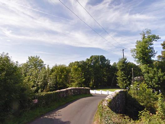 bridgebridge · 1104 yd
 IndicatedFairy fort / earthen ringfort · 1120 yd
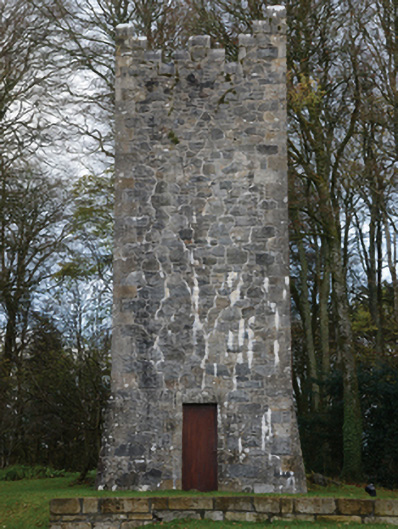 Mount Falconbuilding misc · 1315 yd
 Gull IslandIslet · 1641 yd
 Enclosure in CorroyEnclosure · 1724 yd
 Castle (in ruins)Castle, unclassified · 1.6 mi
 Cloghans CastleCastle, tower house · 2.4 mi
 Humbert MonumentMemorial · 3.5 miBattle of Ballinabattle · 3.5 mi
 The Marshall Doran CollectionGallery · 4.6 mi
 Belleek WoodsWood · 4.8 mi
 FloretteWreck · 4.8 mi