What is recorded here
No fairy fort in this case. That is a human ringfort on a drumlin in County Leitrim, Ireland. The fairies are a later story laid over a human home. The measure is a circular grass and rush area about twenty four metres across, with an earthen bank and a narrow entrance at the east. It is still visible inside a coniferous forest, unchanged in shape though hidden from most sightlines.
Located on top of a drumlin. This is a grass and rush-covered circular area (int. diam. 24.5m N-S; 23.2m E-W) defined by a grass-covered earthen bank (Wth 3.8-6m; int. H 0.1m at S to 0.4m at E; ext. H 1.2m at N and E to 1.6m at W and 2m at S-SW) which is incorporated into a field bank SW-NW, with an external fosse (Wth of base 3m; D 0.3m) NE-SE. The entrance (Wth 1.2m) is at ESE. It remains unplanted in a coniferous forest.
The above description is derived from 'The Archaeological Inventory of County Leitrim' compiled by Michael J. Moore (Dublin: Stationery Office, 2003). In certain instances the entries have been revised and updated in the light of recent research.
Date of upload: 23 September 2008
The monument record does not grant public access. Check the route and ask the landowner before entering private land.
- What survives
- Recorded monument
Places near here
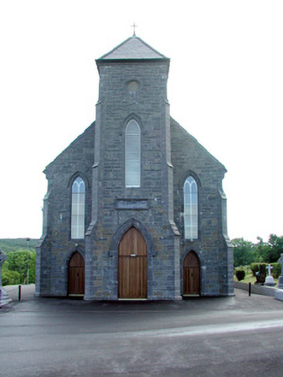 Saint Mary's Catholic Churchchurch/chapel · 881 yd
 Fairy fort / stone ringfort in CleighranFairy fort / stone ringfort · 997 yd
 St. Michaels ChurchChurch · 1.1 mi
 Corn kilnSweathouse · 1.3 mi
 MoteCastle, motte · 1.5 mi
 CastleCastle, unclassified · 1.8 mi
 Cullentra ForestForest · 3.0 mi
 SlishwoodWood · 3.3 mi
 Trawane BayBay · 3.3 mi
 InnisfreeIslet · 3.4 mi
 Giants GraveArchaeological place · 3.9 mi
 Slishwood Island WestIslet · 4.0 mi