What is recorded here
Half-hidden beneath grass and hedge on a slight knoll between drumlins, the Drumrane ringfort keeps its D-shaped outline alive after centuries. Its earthen bank still rises a metre above the ground, and a wide eastern gap invites entry without warning. People may have lived inside, raised stock, or simply marked the land as theirs before forgetting the names of everyone who walked the perimeter.
Situated on a slight knoll at the E side of a col between drumlins which lie to NE and SW. This is a grass-covered subcircular or D-shaped area (dims 29m E-W; 27.7m N-S) defined by an earthen bank and hedge (Wth 2.5m; int. H 0.2-0.4m; ext. H 1.2m) W-NE, and by an overgrown scarp (H 1m) elsewhere. The entrance (Wth 3.4m) is at E. There is no visible fosse but there is an outer drain E-SW, and the perimeter is slightly truncated by a field and road bank (L 12m) at W.
The above description is derived from 'The Archaeological Inventory of County Leitrim' compiled by Michael J. Moore (Dublin: Stationery Office, 2003). In certain instances the entries have been revised and updated in the light of recent research.
Date of upload: 23 September 2008
The monument record does not grant public access. Check the route and ask the landowner before entering private land.
- What survives
- Recorded monument
Places near here
 Fairy fort / stone ringfort in CleighranFairy fort / stone ringfort · 1066 yd
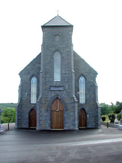 Saint Mary's Catholic Churchchurch/chapel · 1447 yd
 Corn kilnSweathouse · 1.1 mi
 MoteCastle, motte · 1.2 mi
 St. Michaels ChurchChurch · 1.3 mi
 CastleCastle, unclassified · 1.6 mi
 Cullentra ForestForest · 2.7 mi
 SlishwoodWood · 3.0 mi
 Trawane BayBay · 3.1 mi
 InnisfreeIslet · 3.1 mi
 Slishwood Island WestIslet · 3.7 mi
 Giants GraveArchaeological place · 3.7 mi