What is recorded here
Half a circle of earth and stone still stands in Drumrane, its curve cut short where a railway biting through the land swallowed the rest. The missing quarter does not feel like loss so much as permission, as if the fort completed itself by stepping outside the world. What remains is a D-shaped room large enough for a handful of people, bounded by a scarp, a wall and a bank that still resist the grass.
Situated on low-lying ground between drumlins which lie to the N and S. It is depicted as a small embanked enclosure (ext. diam. c. 25m) only on the 1835 ed. of the OS 6-inch map. This is an overgrown D-shaped area, amounting to the SE quadrant of a circle, defined by a scarp (H 3m) adjacent to a railway cutting (L 25m) at N, a stone wall (L 18m) at W and an earth and stone bank (Wth 2.4m; int. H 0.5m; ext. H 1.4m) E-S.
The above description is derived from 'The Archaeological Inventory of County Leitrim' compiled by Michael J. Moore (Dublin: Stationery Office, 2003). In certain instances the entries have been revised and updated in the light of recent research.
Date of upload: 23 September 2008
The monument record does not grant public access. Check the route and ask the landowner before entering private land.
- What survives
- Recorded monument
Places near here
 Fairy fort / stone ringfort in CleighranFairy fort / stone ringfort · 1364 yd
 Corn kilnSweathouse · 1631 yd
 MoteCastle, motte · 1680 yd
 Church (in Ruins)Church · 1.2 mi
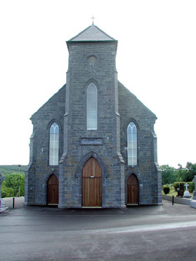 Saint Mary's Catholic Churchchurch/chapel · 1.2 mi
 CastleCastle, unclassified · 1.3 mi
 Cullentra ForestForest · 2.5 mi
 SlishwoodWood · 2.6 mi
 Trawane BayBay · 2.8 mi
 InnisfreeIslet · 2.8 mi
 Slishwood Island WestIslet · 3.3 mi
 Giants GraveArchaeological place · 3.4 mi