What is recorded here
Half a mile west of the last surviving boundary marker, a vanished pile of stones once split Leitrim from Cavan. The Ordinance Survey built it during their great mapping campaign, but time and perhaps deliberate removal have erased it. What remains is a ghost coordinate, a reminder that even official borders can disappear when nobody tends them.
Situated on a broad E-W ridge. It is marked only on the 1907 edition of the OS 6-inch map where it is described in italic lettering as a 'Pile of stones' marking the boundary with County Cavan. This is one of about six cairns or mounds in this area erected by the Ordinance Survey, and very few of them are left. It is the same as (CV005-018----).
Compiled by: Michael Moore
Date of upload: 6 December, 2016
A portal dolmen; likely dating to the Early Bronze Age. Its significance lies in its function as a boundary marker between territories and its survival as one of a small group of such monuments in the region.
The monument record does not grant public access. Check the route and ask the landowner before entering private land.
- What survives
- Recorded monument
Places near here
 PlaygroudCliff · 520 yd
 CarrignahastaCliff · 1507 yd
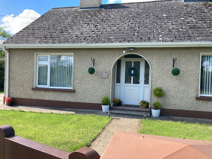 Sweat Ho.Sweathouse · 1567 yd
 CloghasaggartPenal Mass station · 1.1 mi
 Enclosure in Greaghnafarna (drumahaire By., Yugan Ed)Enclosure · 1.2 mi
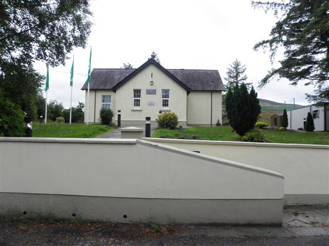 CurraghvahMountain / peak · 1.7 mi
 Corratober UpperMountain / peak · 1.9 mi
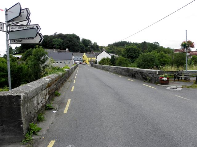 Dowra Bridgebridge · 2.3 mi
 Republican Garden of RemembranceMemorial · 2.4 mi
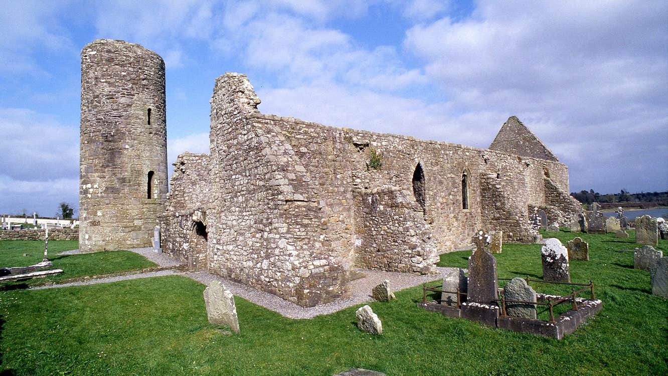 Moneensauran Cuilcagh Anierin Uplands Special Area of ConservationNature reserve · 2.6 mi
 Corrard ForestForest · 2.7 mi
 TobermurrySpring · 3.0 mi