What is recorded here
An invisible stone ringfort hides beneath the soil of Drumminalough, marked only on old maps as a subcircular enclosure clipped by a field boundary. A known cashel sits one hundred and twenty metres away, suggesting this ghost site was once another sturdy wall. People may have lived inside the missing circle before ploughs and time erased the stones. The land still holds the shape of a home nobody remembers building.
On a rise in undulating farmland. Marked on the OS 6-inch maps as a subcircular enclosure (c. 31m NE-SW; c. 23m NW-SE) clipped at NE by a NW-SE running field boundary. No visible surface trace survives. A cashel (GA123-045----) c. 120m to the SW suggests that this probably another cashel.
Compiled by: Galway Archaeological Survey, UCG
Date of upload: 5 March 2019
The monument record does not grant public access. Check the route and ask the landowner before entering private land.
- What survives
- Recorded monument
Places near here
 IndicatedFairy fort / earthen ringfort · 788 yd
 Enclosure in Doonally WestEnclosure · 1272 yd
 CastleCastle, unclassified · 1636 yd
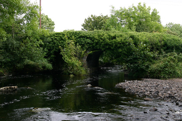 Kenny's Bridgebridge · 1705 yd
 Bawn in BallyconnellBawn · 1.1 mi
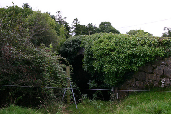 bridgebridge · 1.2 mi
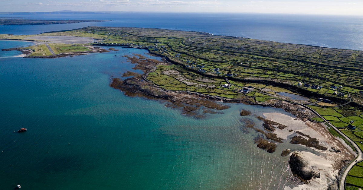 Beagh IslandWood · 3.4 mi
 Rick's IslandWood · 3.5 mi
 KnocknarebanaMountain / peak · 3.7 mi
 Holly IslandIslet · 3.7 mi
 KnockapollboyMountain / peak · 3.8 mi
 Castle IslandIsland · 4.0 mi