What is recorded here
Indicated is a lost Cavan ringfort, erased from the land and saved only in a written line. It stood on a drumlin hilltop, an oval bench of earth seventy-two metres long, perhaps surrounding a household or a chamber for the fairies. Men levelled the ridge to make the field smooth, believing they understood the shape of the place. The field gave back its breadth, but the ridge and its story disappeared.
Not marked on OS 1836 or 1876 eds. Situated on a drumlin hilltop. Davies (ITA Survey 1941) described an oval area (dims. 72m N-S; 24.4m. E-W) enclosed by a low earthen bank and speculated that it may have been a house enclosure. Site has been levelled.
The above description is derived from the published 'Archaeological Inventory of County Cavan' (Dublin: Stationery Office, 1995). In certain instances the entries have been revised and updated in the light of recent research.
Date of upload/revision: 22 December 2008
The monument record does not grant public access. Check the route and ask the landowner before entering private land.
- What survives
- Recorded monument
Places near here
 Enclosure in AshgroveEnclosure · 625 yd
 AshgroveMountain / peak · 861 yd
 ArdanMountain / peak · 1018 yd
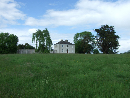 Ashgrove Housecountry house · 1075 yd
 EnclosureEnclosure, large enclosure · 1095 yd
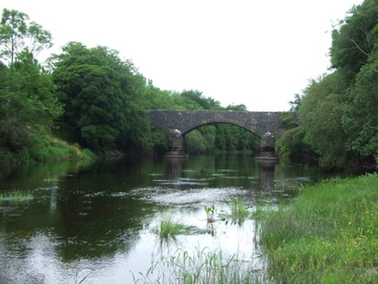 Baker's Bridgebridge · 1367 yd
 InishmuckIsland · 1.2 mi
 Putiaghan Lower ForestForest · 1.5 mi
 Drumlane AbbeyHeritage attraction · 1.5 mi
 Annagh Lough BeachBeach / strand · 1.9 mi
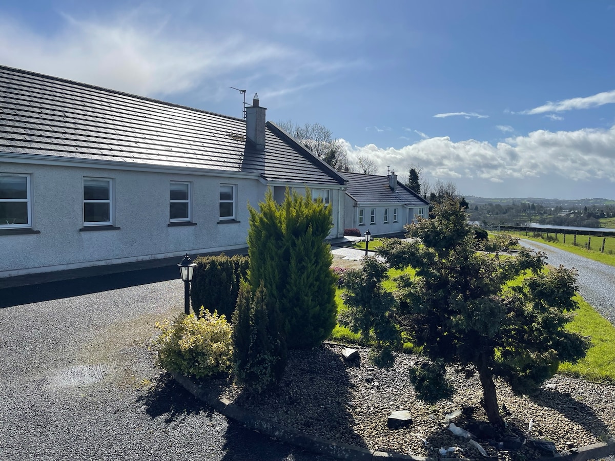 Cornadarragh ForestForest · 2.0 mi
 CastleCastle, unclassified · 2.2 mi