What is recorded here
Two stones stand eight metres apart on the SW slope of Mass Mount, watching Adrigole harbour. They are not a portal or a gift; they are a boundary marker, a survey point, a promise kept in rock. The smaller stone to the south may have been a shelter for the person who set them, though peat has swallowed that hut. Distance and direction are the whole ceremony.
On rough pasture on SW slope of Mass Mount overlooking Adrigole harbour. Stones stand 8.8m apart; overall length 11m; long axis NE-SW. Stone to NE and SW measure H 2.1m; 1.1m x 0.6m and H 1m; 1.05m x 0.65m respectively. Peat-covered foundations of two hut sites (CO116-013001-; CO116-013002-) c. 5m to SSW. (O Nualláin 1988, 251, no. 168).
The above description is derived from the published 'Archaeological Inventory of County Cork. Volume 1: West Cork' (Dublin: Stationery Office, 1992). In certain instances the entries have been revised and updated in the light of recent research.
Date of upload/revision: 14 January 2009
Images provided by and copyright of Amanda Clarke 2016-2022 https://holywellscorkandkerry.com/
The monument record does not grant public access. Check the route and ask the landowner before entering private land.
- What survives
- Recorded monument
Places near here
 Stone CircleHut site · 19 yd
 Mass MountMountain / peak · 763 yd
 Boulder-burial in Cappaleigh NorthBoulder-burial · 791 yd
 Hungry Hill GalleryGallery · 1302 yd
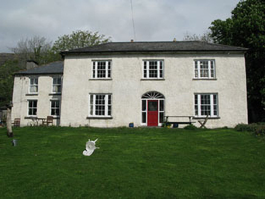 Adrigole Houserectory/glebe/vicarage/curate's house · 1648 yd
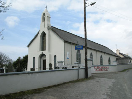 St. Fachtna's Roman Catholic Churchchurch/chapel · 1665 yd
 Graveyard in DrumlaveGraveyard · 1689 yd
 West Cork Sailing & Powerboating CentreHeritage attraction · 1736 yd
 Orthon's IslandIslet · 1.2 mi
 Adrigole MountainMountain / peak · 1.6 mi
 Shot HeadHeadland · 2.0 mi
 Mehal HeadHeadland · 2.6 mi