What is recorded here
Drumharsna South holds a vanished stone ringfort, erased by field clearance between 1982 and 1985. It faced west on a ridge, had an eastern gap, and may have contained a collapsed underground passage. The land took back what the survey first saw, leaving only memory and a flat field where a hidden chamber once waited.
On the W-facing slope of a ridge in mixed farmland. When initially visited by the Survey in October 1982 this poorly preserved circular cashel (diam. 38m) was defined by a drystone wall, which was overlain by a field wall at NW. A gap (Wth 2m) at E appeared to be original. A stone-filled hollow in the W half of the interior may have marked the collapsed remains of a possible Man-made underground passage (GA113-112001-) noted by McCaffrey (1952, 271, no. 30). The monument was revisited in August 1985 but due to field clearance, no visible surface trace of it or the Man-made underground passage survived.
Compiled by: Galway Archaeological Survey, UCG
Date of upload: 11 December 2017
The monument record does not grant public access. Check the route and ask the landowner before entering private land.
- What survives
- Recorded monument
Places near here
 Enclosure in Drumharsna NorthEnclosure · 1136 yd
 Enclosure in Drumharsna SouthEnclosure · 1282 yd
 Drumharsna Castle (in ruins)Castle, tower house · 1409 yd
 Drumharsna CastleHeritage attraction · 1410 yd
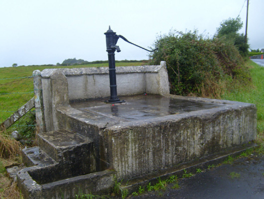 water pumpwater pump · 1.4 mi
 Maryville Househouse · 1.4 mi
 Ballymaquiff CastleCastle · 1.8 mi
 HawthornHawthorn · 3.1 mi
 European ashEuropean ash · 3.1 mi
 Mulroney's IslandIslet · 3.6 mi
 Cusheen IslandIslet · 3.9 mi
 Drumacoo Monastic SiteHeritage attraction · 4.2 mi