What is recorded here
Drumever holds a faded ring where human hands shaped earth into a boundary before memory failed. The grass hides the ditch and bank, but the circle remains large enough for houses, herds or argument. People may have lived there, fled there or simply marked the land as theirs. The fairies entered later, taking the forgotten shape and making it their own.
Located on a slight rise in a low-lying undulating landscape. This is depicted as a circular embanked enclosure (ext. diam. c. 50m) only on the 1834 edition of the OS 6-inch map. It is visible as a slightly raised and grass-covered subcircular area (dims c. 38m E-W; c. 34m N-S), but it is also visible as a subcircular enclosure defined by a single fosse feature which may have an entrance at SSE on the OSI aerial images (1995).
The above description is derived from the published 'Archaeological Inventory of County Monaghan' (Dublin: Stationery Office, 1986). In certain instances the entries have been revised and updated in the light of recent research.
Date of revision: 31 July 2017
The monument record does not grant public access. Check the route and ask the landowner before entering private land.
- What survives
- Recorded monument
Places near here
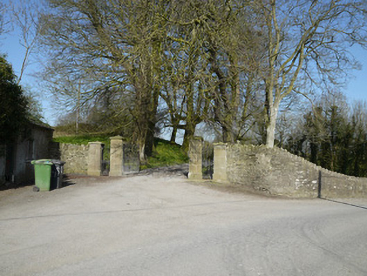 Ballymackney Housegates/railings/walls · 445 yd
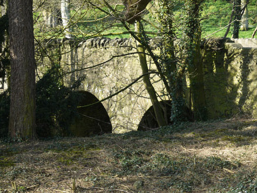 bridgebridge · 478 yd
 Promontory fortPromontory fort, inland · 1051 yd
 CastleCastle, motte and bailey · 1.0 mi
 Man-made underground passage in CorradoranMan-made underground passage · 1.2 mi
 Flat cemetery in AnnaheanFlat cemetery · 2.4 mi
 Monkey-puzzleMonkey-puzzle · 3.0 mi
 European BeechEuropean Beech · 3.0 mi
 Mannan Castle (in ruins)Castle, Anglo-Norman masonry castle · 3.9 mi
 BarleyhillMountain / peak · 5.0 mi
 TobernagalliaghSpring · 5.2 mi
 Graveyard in StickillinGraveyard · 9.6 mi