
What is recorded here
Moat - Drumdoe is a castle motte on the SE shore of Lough Arrow in County Roscommon, Ireland. A flat-topped grass-covered earthen mound rises 3-4m above the land, measuring about 22m across at its base and 15m by 13m on top. Mature deciduous trees break the silence on its crown while faint traces of a narrow fosse mark its NW-NE edge. A crannog floats 125m to the NW in the lake and a fortified house stands 125m to the NNE along the shore, suggesting a small defensive cluster rather than a lonely outpost.
On the SE shore of Lough Arrow. Flat-topped grass-covered earthen mound (diam. of base c. 22m; diam. of top 15m N-S; 13m E-W; H 3-4m) planted with mature deciduous trees, with slight traces of a fosse (Wth 4.5-5.5m; D 0.1m) NW-NE. Crannog (RO003-011----) is c. 125m to the NW in the lake, and fortified house (RO003-012001-) is c. 125m to the NNE along the shore. (Doran 5005, 376-7)
Compiled by: Michael Moore
Date of upload: 24 August 2010
The monument record does not grant public access. Check the route and ask the landowner before entering private land.
- What survives
- Recorded monument
Places near here
 IndicatedBawn · 160 yd
 Abbey (Site of)Ecclesiastical site · 1455 yd
 Church in AghanaghChurch · 1.2 mi
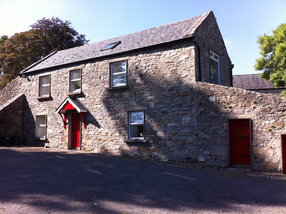 Enclosure in AnnaghgowanEnclosure · 1.2 mi
 Muck IslandIslet · 1.4 mi
 The CopseWood · 1.5 mi
 Long IslandIslet · 1.6 mi
 Bothar an Iarla Ruaidh or the Red Earls RoadRoad, road/trackway · 1.6 mi
 Ballinafad CastleCastle · 1.7 mi
 Loughbrick BayBay · 1.9 mi
 Battle of the Curlew Mountains (1599)Battlefield · 2.6 mi
 Battle of Curlew PassMajor battlefield · 2.6 mi
Other information
Photo: Credit not shown in the picture search · Rights wording not checked; contact us if this picture should be removed