What is recorded here
Fairy fort in Drumdart, County Monaghan: an oval grass ring, 35.5m by 26.5m, set towards the north end of a drumlin ridge. Its low earthen edge survives best to the north-east, a shallow scarp no more than eighty centimetres high. The entrance has no visible marker, as if the fort stopped inviting people in long before it stopped being used.
Located towards the N end of a NE-SW drumlin ridge. This is an oval grass-covered area (dims 35.5m NE-SW; 26.5m NW-SE) that slopes down slightly to the NE defined by a low scarp, best preserved N-NE (Wth 3.5m; H 0.8m). The original entrance is not identified.
The above description is derived from the published 'Archaeological Inventory of County Monaghan' (Dublin: Stationery Office, 1986). In certain instances the entries have been revised and updated in the light of recent research.
Date of revision: 29 August 2017
The monument record does not grant public access. Check the route and ask the landowner before entering private land.
- What survives
- Recorded monument
Places near here
 Fairy fort / earthen ringfort in AghacloghaFairy fort / earthen ringfort · 1457 yd
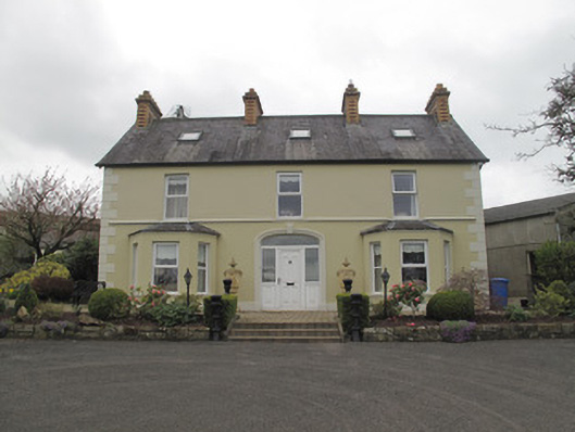 Killygavna Cottagehouse · 1.1 mi
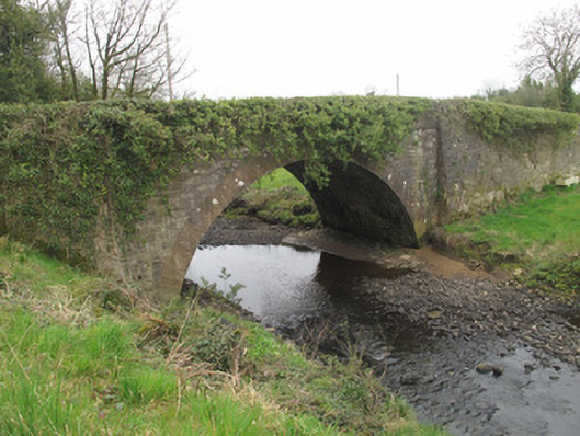 bridgebridge · 1.2 mi
 IndicatedFairy fort / earthen ringfort · 1.2 mi
 Coast RedwoodCoast Redwood · 2.4 mi
 Western RedcedarWestern Redcedar · 2.4 mi
 Emyvale Heritage TrailVisitor information · 2.6 mi
 Monaghan County MuseumMuseum · 4.7 mi
 Rossmore MonumentMemorial · 4.9 mi
 Sliabh Beagh Hotel and Tourism CentreVisitor information · 4.9 mi
 Bawn in Roosky (monaghan By., Monaghan Par.)Bawn · 5.0 mi
 Rough HillMountain / peak · 5.5 mi