What is recorded here
Not included in the SMR (1989) but listed in the RMP (1995) and classified 'Field System'. Not marked on any edition of the OS 6-inch map. Ruined linear limestone field walls (Wth 0.6m; H 0.3-0.5m) skirt the base of the knoll to W, N, E and SE, effectively delimiting the dry ground. Radiating to N and E are field ditches cutting through the surrounding marshy ground. This field system is likely to be post-1700 AD in date.
Compiled by: Archaeological Survey Unit, UCC
Date of upload: 11 January 2012
The monument record does not grant public access. Check the route and ask the landowner before entering private land.
- What survives
- Recorded monument
Places near here
 Ritual siteRitual site, holy/saint's stone · 462 yd
 Enclosure in DrumcondraEnclosure · 608 yd
 Drumcondra Castle (in Ruins)Castle, tower house · 956 yd
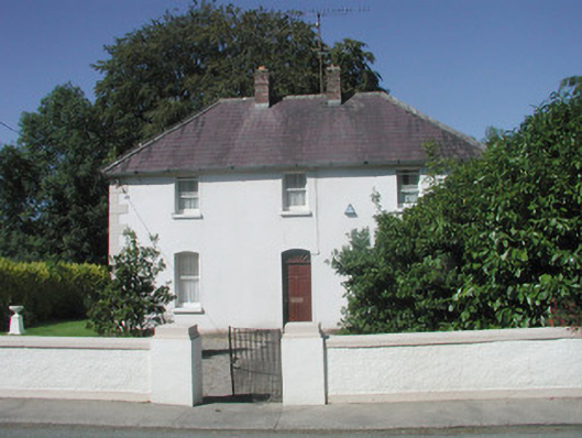 The Presbyterypresbytery/parochial/curate's house · 1008 yd
 Saint Teresa's Catholic Churchchurch/chapel · 1051 yd
 CastleCastle, unclassified · 1388 yd
 Giants GraveArchaeological place · 1.5 mi
 SlishwoodWood · 1.9 mi
 Slishwood Island WestIslet · 2.5 mi
 Bunowen BayBay · 2.6 mi
 Slishwood Island EastIslet · 2.6 mi
 Aghamore BayBay · 3.5 mi