What is recorded here
Not included in the SMR (1989) but listed in the RMP (1995) and classified 'Field System'. Not marked on any edition of the OS 6-inch map. In undulating average pasture, broken by rock outcropping. A cashel (SL021-073----) is located within the limits of the field system. The system consists of a rectilinear grid of ruined field walls, surviving as low sod-covered stone banks (Wth 0.5-0.8m; H 0.3m). They appear to be associated with a ruined farmstead (shown on the 1913 edition of the OS 6-inch map), probably 18th/19th century in date, located c. 50m to SW of the cashel. The stone foundations of a cluster of small rectangular buildings can be made out beneath heaps of field clearance rubble. The grid of fields extends to E of the farmstead and are laid out axially along the natural contours in a series of roughly E-W lines (varying in width from 20-50m) with transverse sub-divisions. A connecting wall encloses the base of the knoll on top of which cashel (SL021-073----) is sited.This system dates to the post-1700 AD period.
Compiled by: Archaeological Survey Unit, UCC
Date of upload: 11 January 2012
The monument record does not grant public access. Check the route and ask the landowner before entering private land.
- What survives
- Recorded monument
Places near here
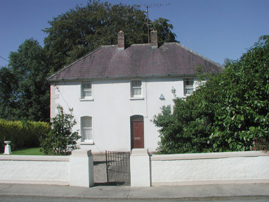 The Presbyterypresbytery/parochial/curate's house · 627 yd
 Saint Teresa's Catholic Churchchurch/chapel · 654 yd
 Enclosure in DrumcondraEnclosure · 726 yd
 Ritual siteRitual site, holy/saint's stone · 916 yd
 CastleCastle, unclassified · 985 yd
 Drumcondra Castle (in Ruins)Castle, tower house · 1107 yd
 Giants GraveArchaeological place · 1.6 mi
 SlishwoodWood · 2.1 mi
 Slishwood Island WestIslet · 2.7 mi
 Bunowen BayBay · 2.8 mi
 Slishwood Island EastIslet · 2.9 mi
 Aghamore BayBay · 3.8 mi