What is recorded here
You can still see the triangular shadow it casts on the low ground south of the Ballyboe River, though ploughs and curiosity have cut through much of its flesh. For centuries it held the dead of Drumcarbit, a temporary landmark in a landscape where memory and soil belong to the same system. The fact that it was dug into does not diminish it; it proves the living kept returning to ask the dead a question.
A roughly triangular earthen mound, 11.1m N-S, 8.1m E-W and 13m NW-SE, which survives in places up to 1m high. It was partially dug into some time ago. It is known as a burial ground and is situated on low cultivated ground S of the Ballyboe River.
The above description was derived from the 'Archaeological Survey of County Donegal. A description of the field antiquities of the County from the Mesolithic Period to the 17th century.' Compiled by: Brian Lacey with Eamon Cody, Claire Cotter, Judy Cuppage, Noel Dunne, Vincent Hurley, Celie O'Rahilly, Paul Walsh and Seán Ó Nualláin (Lifford: Donegal County Council, 1983). In certain instances the entries have been revised and updated.
Date of upload: 22 September 2008
A Neolithic burial mound, likely dating to the 4th–3rd millennium BCE. Its partial excavation and triangular shape suggest it may be a cairn or barrow, representing early communal burial practices in the region.
The monument record does not grant public access. Check the route and ask the landowner before entering private land.
- What survives
- Recorded monument
Places near here
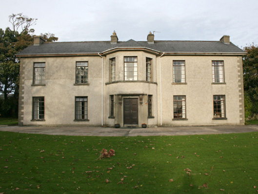 Rockville Househouse · 1045 yd
 Malin Bridgebridge · 1072 yd
 IndicatedHoly well · 1163 yd
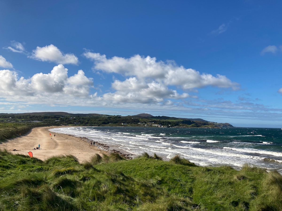 Drumaville Fairy FortFairy fort / earthen ringfort · 1574 yd
 Carndonagh Early Church GraveyardGraveyard · 3.0 mi
 CastleCastle, unclassified · 3.7 mi
 Doagh Famine VillageMuseum · 3.8 mi
 Dough Famine VillageHeritage attraction · 3.8 mi
 Lag GraveyardGraveyard · 3.8 mi
 CuldaffOfficial bathing water · 3.9 mi
 Five Finger StrandBeach / strand · 4.0 mi
 Bawn in CarrickabraghyBawn · 5.3 mi