What is recorded here
Geophysical survey (Licence no. 12R127) undertaken by the Discovery Programme as part of the ‘Late Iron Age and “Roman” Ireland’ project identified an oval enclosure (42mEW x 30mNS) with what has been interpreted as having a narrow ditch or palisade trench. The survey results in the eastern half of the enclosure suggest the likely presence of burnt material. Two well defined breaks, each measuring c. 5m in width, occur on the NE and SE sides of the enclosure and may reflect original entrances; that on the NE appears to be flanked by pit-type features, possibly post-pits (Dowling 2014, 16).
Compiled by: Christine Baker
Date of upload: 4 February 2015
The monument record does not grant public access. Check the route and ask the landowner before entering private land.
- What survives
- Recorded monument
Places near here
 Structure in DrumanaghStructure · 132 yd
 Promontory fortPromontory fort, coastal · 366 yd
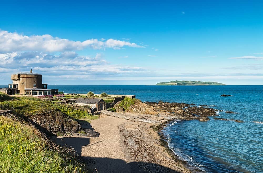
 Drumanagh Martello Towermartello tower · 522 yd
 Church (in ruins)Church · 572 yd
 IndicatedCastle, tower house · 679 yd
 LoughshinnyVisitor information · 1507 yd
 The MillbankVisitor information · 1.4 mi
 Rush South BeachBeach / strand · 2.0 mi
 Castle (in ruins)Castle, Anglo-Norman masonry castle · 2.1 mi
 Flat cemetery in BalcunninFlat cemetery · 3.2 mi
 Joe’s BridgeMemorial · 3.3 mi
 Tower Bay BeachBeach / strand · 3.5 mi