
What is recorded here
On a SW-facing slope. References to Arroasian nuns of St Mary's at Drumalagagh date from 1195 to 1400. It was a daughter house of Clonard, Co. Meath (ME047-021----), which was transferred to Kilcreevanty, Co. Galway (GA029-096001-), c. 1223 (Gwynn and Hadcock 1970, 316). The house had been abandoned by the Suppression, but two quarters amounting to 357 profitable and 147 unprofitable acres at Drumalagagh were owned by the Earl of Clanrickard in 1641 and the 1660s (Simington 1949, 63). The remains extend over about 10 acres (c. 4 ha), consisting of the church and adjacent hut-sites, three buildings, two bullaun stones and the remnants of a field system. All the features, except the bullaun stones post-date the church.
The church is a T-shaped building, with N and S transepts, but lacking a visible chancel extension. The nave (int. dims c. 13.65m E-W; 5.7m N-S) is represented by the W gable (H c. 6m) with a light at ground level and a light placed high in the wall, and adjacent parts of the N and S walls. The S transept (int. dims 6.7m N-S; 5.15m E-W) has a S wall (H c. 4m) with a cupboard, and evidence of a light in the E wall. The rectangular E pier with chamfered edges of the N transept (int. dims 8.5m N-S; 5.15m E-W) survives, but only its NW angle and W wall survive nearly complete (H 2.5-4m) with the ingoing of a large window on the N wall. Later cross-walls, now reduced to the foundations, cut off the W end of the nave and the S transept, and others enclose the area between the nave and the S transept. There is a rectangular grass-covered platform (dims c. 22m N-S; 18.5m E-W) defined by slight scarps attached to the E. Within 20m of the church are 5 possible hut-sites (RO056-004007-) (ext. diam. 4-5m), defined by stone spreads (Wth c. 1-2m), sometimes with facing-stones evident, although they may be clearance cairns.
About 90-130m S and SE of the church (RO056-004001-) and adjacent to a large building (RO056-004008-) (ext. dims 16m N-S; 6m E-W) at its visible E end is a mill-race which leads W and S to a 19th century mill c. 500m to the S. The watercourse (Wth c. 2m; D c. 1m) is stone-faced in places. From the building at the E end it runs S (L c. 40m), WNW (L c. 100m) and SW (L c. 90m). About 15m to the W of the large building is a second large building (RO056-004003-) (dims c. 25m NE-SW, c. 10m NW-SE), regarded locally as a church, defined by the base of a grass-covered wall (T 0.75m) or a grass-covered earth and stone spread (Wth c. 2m; H 0.2-0.5m). Two clay-walled houses (RO056-004013-) (dims c. 6m x 5m) defined by low mound walls (Wth 0.5-1m) are built within it, and a sweat-house (RO056-004004-) (int. dims 1.6m x 1.4m) was built in the N corner but is now collapsed. Nearby is a bullaun stone (RO056-004002-) (dims 1.05m x 0.9m; H 0.5m) with a single basin (diam. 0.4m; D 0.23m). A fragment of another bulluan stone (RO056-004012-) (dims 0.9m x 0.7m; H 0.5m) with a single damaged basin is c. 70m SW of the church. About 100m SW of the church is a masonry building (RO056-004011-) (ext. dims 21.4m N-S; 8m E-W) defined by walls (T 0.7-0.8m; max. H 1.5m), which is divided into 4 rooms, but there is no evidence of internal or external doorways.
About 20m NW of the church is a modern NE-SW field bank, and a field system (RO056-004005-) covering about 3 acres (c. 1.2ha) survives to its NW. There are portions of two rectangular fields (dims c. 30m x c. 30m) defined by earth and stone banks (Wth c. 3m; H 0.5-1m) associated with lazy beds. A house site (RO056-004014-) (ext. dims 5.3m E-W; 4.3m N-S) is built on one of the field banks.
Compiled by: Michael Moore
Date of upload: 24 August 2010
The church at Drumalagagh was built by the Arroasian nuns, likely in the late 12th or 13th century, as a daughter house of Clonard, and is dedicated to St Mary. It is significant as a medieval religious site associated with a monastic community active from 1195 to 1400.
The monument record does not grant public access. Check the route and ask the landowner before entering private land.
- What survives
- Recorded monument
Places near here
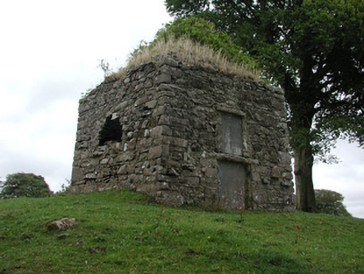 St. George Mausoleummausoleum · 118 yd
 Tonvee CastleCastle, unclassified · 1.0 mi
 Tully CastleArchaeological place · 1.2 mi
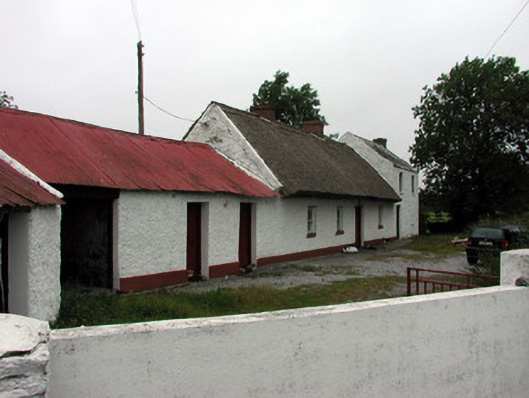 farm housefarm house · 1.3 mi
 Split HillMountain / peak · 1.4 mi
 Embanked enclosureFairy fort / earthen ringfort · 1.4 mi
 Kilbegly WellHoly well · 1.7 mi
 Sugarloaf HillMountain / peak · 2.8 mi
 Long IslandIsland · 3.0 mi
 Devenish IslandIsland · 3.3 mi
 Shannonbridge - Nearby AttractionsVisitor information · 3.3 mi
 HawthornHawthorn · 4.6 mi
Other information
Photo: Credit not shown in the picture search · Rights wording not checked; contact us if this picture should be removed