What is recorded here
Drominycarra is a level pasture where a one-and-a-half-metre standing stone once rose beside an ancient enclosure, but the stone vanished around 1985 and even the scar has faded from later satellite images. The place still holds the shape of what was taken, inviting imagination to fill the empty grass with forgotten hands, forgotten reasons, and a warning that memory itself can be erased.
In level pasture with moderate views in all directions. Enclosure (LI022-223----) located 200m to NW. According to local information a standing stone (H 1.5m) at this location was removed c. 1985 (SMR File). Visited by the ASI in 2000 and described as no surface remains visible. Not visible on Google Earth orthoimage taken 28/06/2018.
Compiled by: Martin Fitzpatrick
Date of upload: 7 August 2020
The monument record does not grant public access. Check the route and ask the landowner before entering private land.
- What survives
- Recorded monument
Places near here
 Enclosure in DrominycarraEnclosure · 220 yd
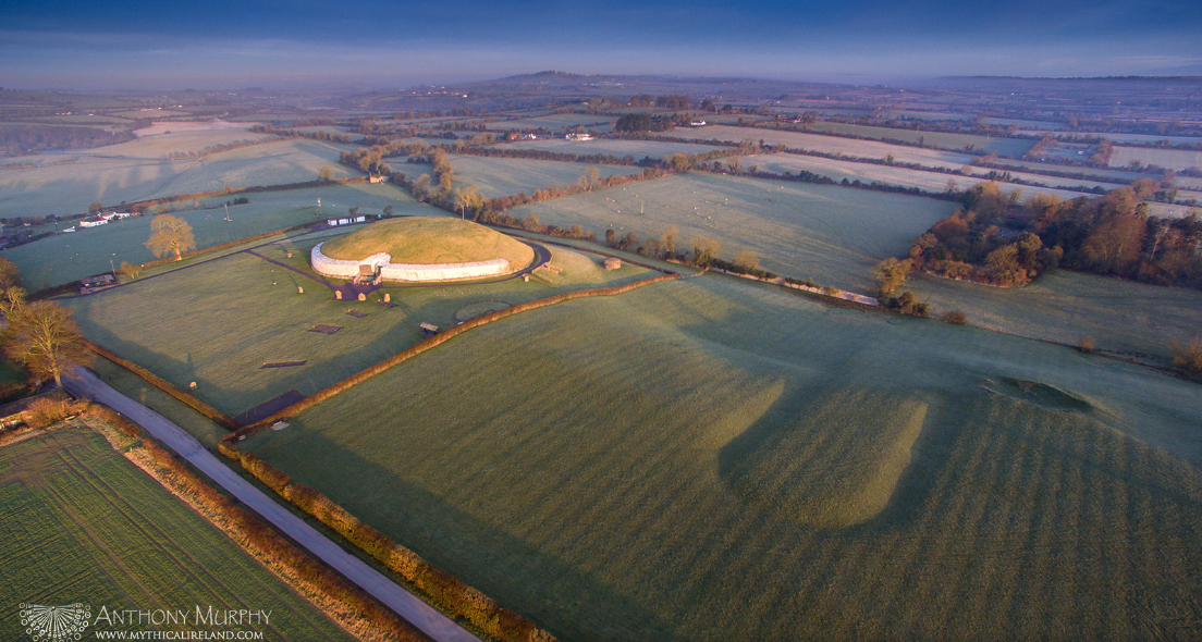 Moated site in Ballycullane (smallcounty By.)Moated site · 693 yd
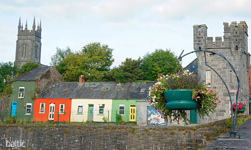 Indicated, GlebeHouse, indeterminate date · 1427 yd
 Glenogra Bridgebridge · 1428 yd
 Glenogra Castle (in ruins)Castle, Anglo-Norman masonry castle · 1.1 mi
 Bawn in SkoolhillBawn · 1.3 mi
 Skool HillMountain / peak · 1.7 mi
 Banoge's WellSpring · 1.7 mi
 Lough GurVisitor information · 2.2 mi
 Grange Stone CircleArchaeological place · 2.2 mi
 Villiers WellSpring · 3.2 mi
 European ashEuropean ash · 3.6 mi