
What is recorded here
Indicated is a sub-rectangular graveyard in County Louth, Ireland, measuring roughly 78m east-west and 41m north-south. A road bounds its west side while fields claim the other three, and the remains of a medieval church sit at its east edge. The stones hold names and dates, but the church ruins suggest worship continued long after the building fell. People may have kept coming here because the graves themselves became the marker, the church no longer needed.
Sub-rectangular shaped graveyard (map dims. c. 78m E-W; c. 41m N-S) bounded by the road on W side and fields on other three sides. Remains of medieval church (LH018-014001-) in E. An index to the inscriptions in this graveyard has been posted on the web at the following internet address (accessed 5 July 2012): http://www.jbhall.freeservers.com/dromin_inscriptions_page_2.htm
Compiled by: Claire Breen
Date of upload: 5 July 2012
The monument record does not grant public access. Check the route and ask the landowner before entering private land.
- What survives
- Recorded monument
Places near here
 Man-made underground passage in DrominMan-made underground passage · 64 yd
 Saint Finian's Catholic Churchchurch/chapel · 72 yd
 CastleCastle, motte · 100 yd
 St. Finians WellHoly well · 288 yd
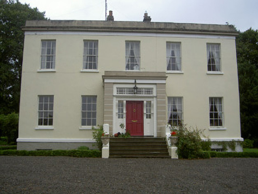 Dromin Housecountry house · 789 yd
 Monterey CypressMonterey Cypress · 1.1 mi
 Graveyard in Richardstown (ardee By., Richardstown Par.)Graveyard · 1.2 mi
 Rocjardstown CastleCastle, tower house · 1.2 mi
 Rathescar Lakeside WalkWood · 1.5 mi
 Graveyard in StickillinGraveyard · 2.8 mi
 Tullydonnell HillMountain / peak · 3.8 mi
 Black HillMountain / peak · 4.5 mi
Other information
Photo: Kieran Campbell · Creative Commons Attribution-ShareAlike 2.0