What is recorded here
Dromdowney Lower holds a tangled ribbon of low banks and shallow fosses linking a moated site, church enclosure and burial ground. The earthwork stretches south through wet ground, marking boundaries or pathways for people who lived beside water and death. Its lines still cut across the field, inviting imagination about the hands that shaped them and the reasons they joined sacred places.
This earthwork is referred to in the 'Archaeological Inventory of County Cork - vol. 4 North Cork' (2000, 495) under the entry (no. 14200) for a moated site (CO024-153002-). It is described as 'numerous linear features formed by low banks and fosses in same field to E and S of moated site, extend S to church site (CO024-15603-) and burial ground (CO024-15602-). These include
(a) rectangular area (c. 20m N-S; c. 14m E-W) defined by low earthen bank with shallow external fosse; low outer bank on N side curves around NW corner and turns W, for c. 40m, to join SE corner of moated site; E bank of enclosure extends beyond enclosure to N and S, for short distance.
(b) immediately to W of (a) is low earthen bank extending N for c. 30m and S for c. 86m; at S end it forms right angle and extends c. 14m to E, terminating at E field boundary.
(c) extending S from S end of (b) and joining up with E bank of church enclosure (CO024-15603-) is low earthen bank (Wth 4m; L 32m).
(d) extending W from S end of (b) to field boundary to W, is shallow fosse (D 0.5m; Wth 0.8m) with low earthen bank (H 0.6m) on N side.
(e) in SE corner of field, is mound (c. 22m N-S and c. 12m E-W; H 1 to 1.5m) with long axis NNW-SSE; with central linear depression on N-S axis.
(f) c. 12m to S of moated site is sub-square raised area (8m N-S; 8m E-W; H 0.5m) with top surface uneven. Area between this feature and field boundary to W is very wet.'
The above description is derived from the published 'Archaeological Inventory of County Cork. Volume 4: North Cork' (Dublin: Stationery Office, 2000). In certain instances the entries have been revised and updated in the light of recent research.
Date of upload/revision: 14 January 2009
The monument record does not grant public access. Check the route and ask the landowner before entering private land.
- What survives
- Recorded monument
Places near here
 Church in Dromdowney LowerChurch · 151 yd
 Castle (Remains of)Castle, unclassified · 672 yd
 Copsetown Abbeyhouse · 847 yd
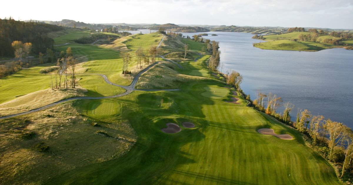 Fulacht fia in MountnorthFulacht fia · 871 yd
 Grave Yard (Disused)Graveyard · 1043 yd
 CastleBawn · 2.0 mi
 In loving memory of Elvis O'DonoghueMemorial · 3.1 mi
 Dromaneen CastleHeritage attraction · 3.4 mi
 Graveyard in Ballygiblin (duhallow By.)Graveyard · 4.4 mi
 Lady's WellSpring · 4.6 mi
 European YewEuropean Yew · 6.1 mi
 Burial ground in AssolasBurial ground · 6.3 mi