What is recorded here
Ten kilometres of vanished boundary stretch between Lough Gowna and Lough Kinale, preserving a line drawn long before human memory. Local tradition claims it separated Ulster from Leinster, yet the earthwork likely marked territorial limits rather than defending against invasion. Where pasture has not erased the banks, steep ditches and stone rims still cut through the green fields, waiting for someone to walk the path and imagine the hands that shaped them.
In pasture. Marked on all editions of the OS 6-inch map running in a NW–SE direction between Lough Gowna and Lough Kinale, a distance of c. 10.6km (Keegan 2010). Where best preserved, in the NW of Cartronbore townland, it comprises two substantial banks of earth and stone (Wth c. 8m; H c. 1.2m), similar in morphology, with a wide, steep-sided, flat-bottomed, intermediate fosse (Wth 7m; D c. 1m). However, almost all other sections of it have been levelled to a greater or lesser extent but its circuit is preserved in field boundaries and drains. The precise function of this linear earthwork is unknown though according to local tradition, it was seen as the territorial boundary between the provinces of Ulster and Leinster and between the Gaelic regions of Annaly and Breifne (Farrell 1891, 270). It seems more likely that it functioned as a territorial boundary marker rather than a defensive frontier line. (ITA Survey 1944; English 1971, 150; Williams 1989, 12–19; Columb 2002, 20–6; O’Donovan 2003, 24; Keegan 2010; CUCAP, AJO 50)
Compiled by: Patrick F. O'Donovan
Date of upload: 2 March 2012
The monument record does not grant public access. Check the route and ask the landowner before entering private land.
- What survives
- Recorded monument
Places near here
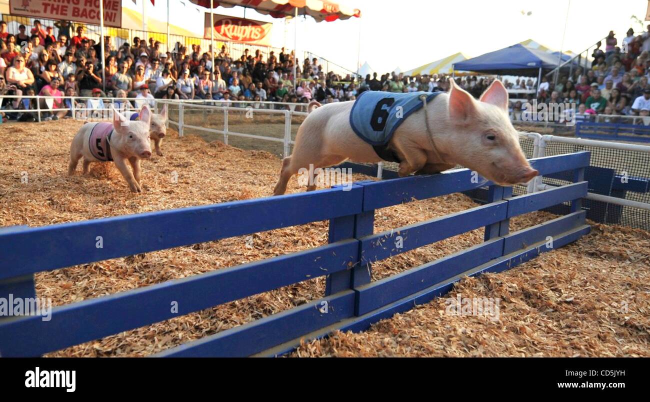 Dunclá or Black Pigs RaceArchaeological place · 162 yd
 Megalithic structure in DalystownMegalithic structure · 333 yd
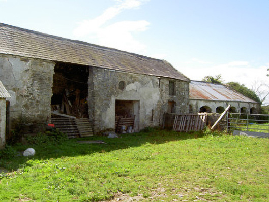 Dalystown Houseoutbuilding · 747 yd
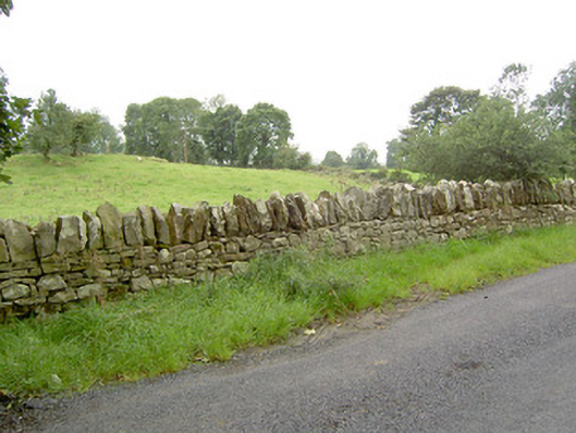 gates/railings/wallsgates/railings/walls · 900 yd
 Bakers FortCastle, ringwork · 1.5 mi
 1798 Monumentmonument · 1.5 mi
 Granard MotteMotte-and-bailey castle remains · 1.6 mi
 CastleCastle, unclassified · 1.6 mi
 CartronfreeMountain / peak · 2.1 mi
 Derrycassan WoodsWood · 2.5 mi
 InchmoreIslet · 3.0 mi
 ToomeMountain / peak · 3.1 mi